Subject: New York City, New York
Period: 1889 (dated)
Publication:
Color: Hand Color
Size:
23.3 x 31 inches
59.2 x 78.7 cm
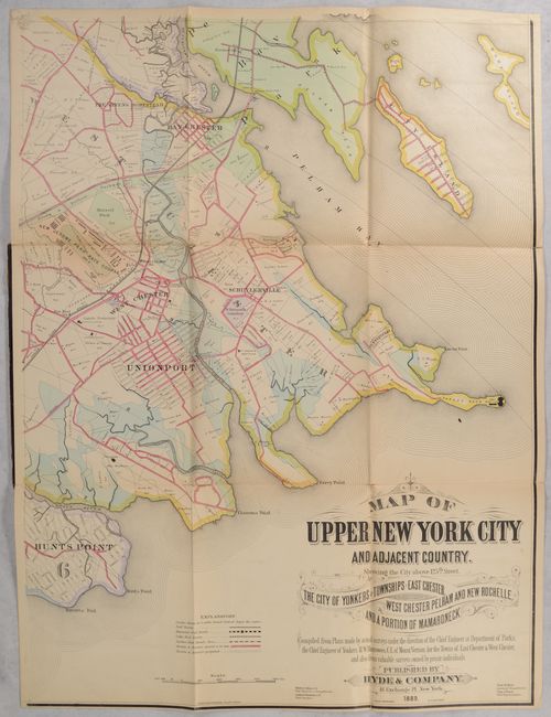
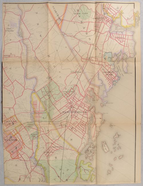
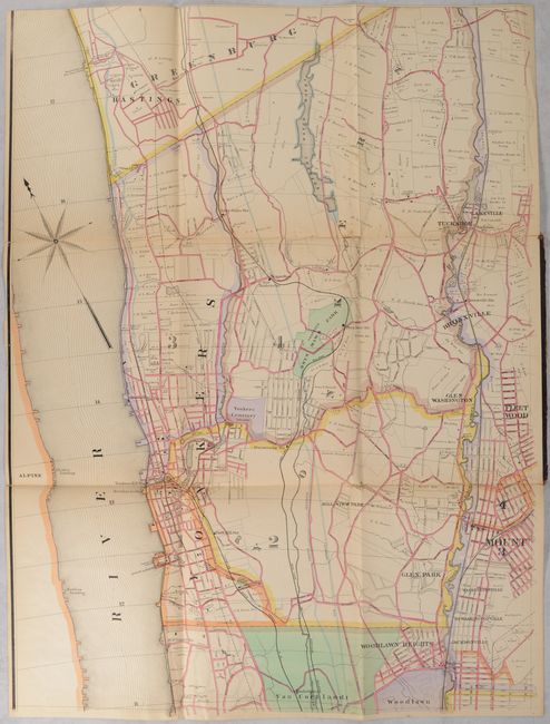
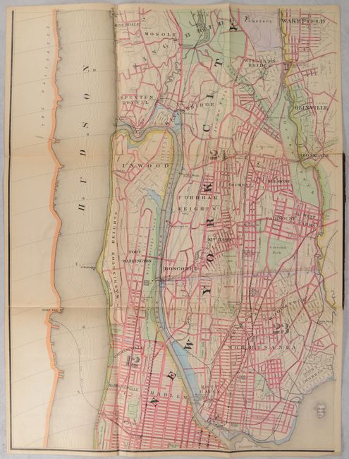
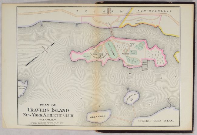
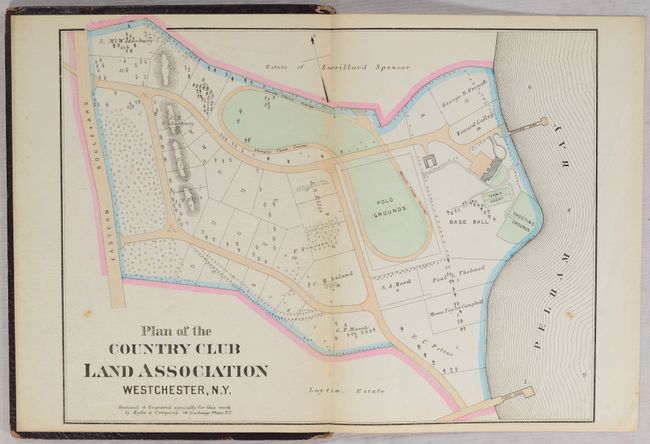
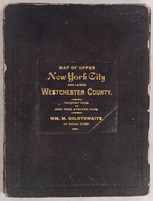
This large-scale map of upper New York City and southern Westchester County was issued on four sheets (each approximately 23 x 31") that would measure 47 x 62" if joined. Published by William M. Goldthwaite, the map is filled with detail including railroads, cable car lines, streets, parks, cemeteries and even individual property owners. The map's detail is further enhanced with attractive hand coloring, which was quite uncommon in the late 19th century. The map is accompanied by two small maps (also attached to boards) entitled Plan of the Country Club Land Association Westchester, N.Y. (13.2 x 10.3") and Plan of Travers Island New York Athletic Club Pelham, N.Y. (13.6 x 10.0"), clearly catering this production to a wealthy, high society audience. Backed with contemporary linen and attached to maroon leather boards with gilt title on front cover. We found no past sales records for this map published by Goldthwaite, and only one other example published by Hyde (Old World Auctions, 2016). OCLC locates one institutional example for this Goldthwaite edition (New York Public Library) and two of the Hyde edition.
References:
Condition: B+
The colorful maps are mostly clean with a hint of pleasant light toning and some minor fold separations. The northwest sheet has some light scattered foxing and the top border has been trimmed off (likely by the binder). The southeast sheet has a small repaired chip in the top left border. The spine has perished and each map is attached to a board. Covers are worn with small chips along the edges.


