Subject: Pennsylvania
Period: 1855 (dated)
Publication:
Color: Hand Color
Size:
25.6 x 33 inches
65 x 83.8 cm
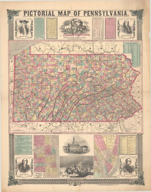
This large, separately issued promotional piece features a map of the state at center that is delineated by counties and townships. It shows cities, town, railroads and canals along with a population table at right revealing a 34% growth rate from 1840 to 1850. The map is augmented by plans of its two largest cities, Philadelphia and Pittsburgh, at bottom along with illustrations of Independence Hall, Washington crossing the Delaware River, and portraits of Robert Morris and Benjamin Rush. Additional illustrations at top include the state emblem and portraits of William Penn and Ben Franklin. Panels of text describing the state's history, government, resources and laws complete the composition. Surrounded by a decorative border.
References: Phillips (Maps) p. 683.
Condition: B+
Folded by a previous owner with numerous short edge tears that have been professionally repaired on verso. There is a long extraneous crease at upper center and some minor soiling in the sheet corners.


