Subject: Northwestern Pennsylvania, Oil
Period: 1865 (dated)
Publication:
Color: Hand Color
Size:
24.1 x 19.9 inches
61.2 x 50.5 cm
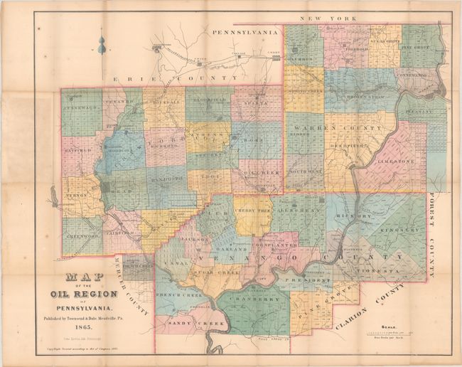
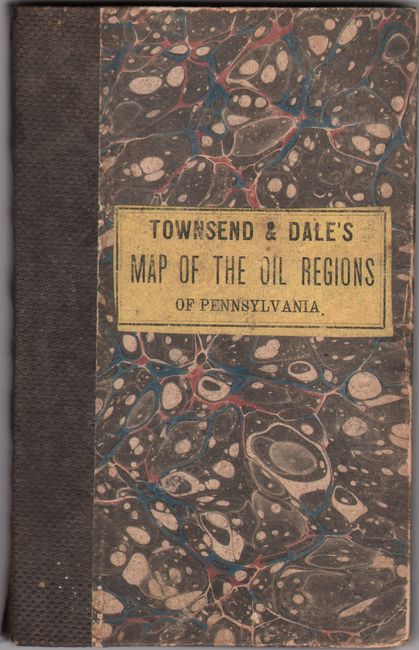
This rare pocket map is one of the earliest to present the oil producing region of northwestern Pennsylvania. It extends from Franklin north to Columbus including portions of Crawford, Warren, and Venango counties. The map is divided by townships and plats, and locates early oil towns including Oil City, Plumers, Titusville, and more. Locates several railroads in the vicinity including the Atlantic & Great Western Railway, Oil Creek Railway, Franklin Railway, and more. Shows a single state road as well as a network of primitive roads and trails. In the vicinity of Plumers is a Petroleum Centre [sic], Holmden Well, and Humbold Works. Lithographed by Otto Krebs in Pittsburgh and published by Townsend & Dale in Meadville. Folds into marbled boards. We found only one past sales record for this map in the last 30 years and two examples held in institutions (Library of Congress and David Rumsey Map Collection).
References: Rumsey #2824.001; Streeter #3925.
Condition: B
Issued folding with minor foxing and light toning that is more prominent where the map folds into its covers at left. There are archival repairs to a number of tiny separations at the fold junctions. The map is laid into the boards, which are lightly worn.


