Subject: South Dakota
Period: 1902 (dated)
Publication:
Color: Hand Color
Size:
49.4 x 32.5 inches
125.5 x 82.6 cm
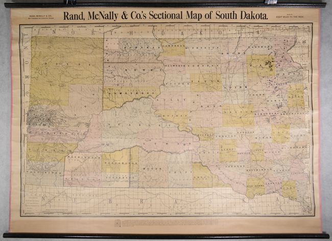
This wall map was issued 13 years after statehood and is drawn on an impressive scale of 8 miles per inch. It is delineated by both county and township. Public surveying is nearly complete with only small pockets in the southwest and northwest left unsurveyed. The detailed map depicts the evolving railroad network, locates and names a number of Indian Reservations, and a legend at left further identifies land offices, military reservations and forest reserves. The verso contains a map of The World on Mercator's Projection flanked by presidential portraits. Original rollers are present and attached.
References:
Condition: B+
Mostly clean and bright some light toning at top and bottom. Two edge tears at top that extend 3" and 6" into the image have been repaired on verso with archival tape along with a 2" tear at upper left. Edge ribbon is intact. Original rollers are present and attached.


