Subject: Chattanooga, Tennessee, Civil War
Period: 1875 (dated)
Publication:
Color: Printed Color
Size:
26.1 x 28.6 inches
66.3 x 72.6 cm
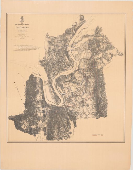
This map depicts the movement of Union (blue) and Confederate (red) forces at the end of the Chattanooga Campaign in November 1863. The Union positions, led by Generals Sherman and Thomas, are shown advancing across the Tennessee River and up Missionary Ridge, resulting in a retreat of General Bragg's Confederate forces to Dalton, Georgia. Bragg's defeat was the final confederate position in Tennessee, and his withdrawal set up Sherman's Atlanta Campaign in 1864. The map features topography via finely drawn hachuring along with several railroads and the street grid of Chattanooga. Lithographed by the Graphic Company.
References: Stephenson (Civil War) #406.
Condition: A
A crisp impression with a number of short edge tears confined to the blank margins that have been closed on verso with tape.


