Subject: Portsmouth, Virginia
Period: 1875 (circa)
Publication:
Color: Hand Color
Size:
26.5 x 19.4 inches
67.3 x 49.3 cm
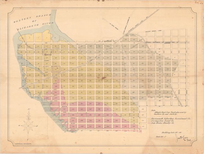
This rare plat map covers the area of today's Westhaven and Midtown neighborhoods in Portsmouth, Virginia. Situated along the western branch of the Elizabeth River, this parcel of land is color-coded to show the holdings of the Portsmouth Suburban Investment Company (yellow), Livingston Land Company (pale green), and Tide Water Realty (pink). Several railroad lines pass through this planned residential development including the Atlantic Coast Line, N. & C., and the Norfolk, Portsmouth, and Newport News railways. Proposed roads "To Draw Bridge" and "To Port Norfolk & Pinners Pt" are also noted at top. Lithographed by Samuel Bowman in Norfolk.
References:
Condition: B
Folded with some minor soiling and staining and a bit of toning at bottom. There are a few manuscript notations at upper left.


