Subject: Gulf of Mexico & Caribbean
Period: 1763 (published)
Publication:
Color: Black & White
Size:
45.6 x 19.9 inches
115.8 x 50.5 cm
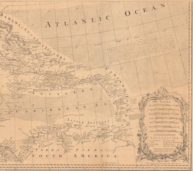
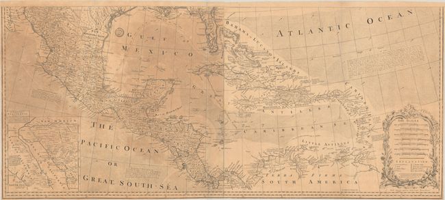
This is the southern half of this large, influential, second edition map. It extends from the southern tip of Florida, which is shown as an archipelago, west along the Gulf Coast and south to include Mexico, Central America and northern South America. The map presents excellent detail of the Caribbean islands and delineates the tracks of the Spanish Galleons connecting Vera Cruz, Havanna, and Cartagena with Spain. An inset at left shows the discoveries of Father Eusebius Kino in the Southwest that proved that California was not an island. Featured in this second edition of the map is the text of several articles of the Treaty of 1763 that are engraved in the Atlantic Ocean. Decorated by elegant cartouche featuring seven distance scales and a legend. Printed on two joined sheets. Published by Robert Sayer, opposite Fetter Lane, Fleet Street.
References: Stevens & Tree (MCC-39) #49b.
Condition: B
Issued folding on watermarked paper with toning on the left sheet of the map. There are several tiny wormholes throughout and a few small edge tears at bottom that have been repaired on verso with archival tape.


