Subject: South America
Period: 1763-83 (circa)
Publication:
Color: Hand Color
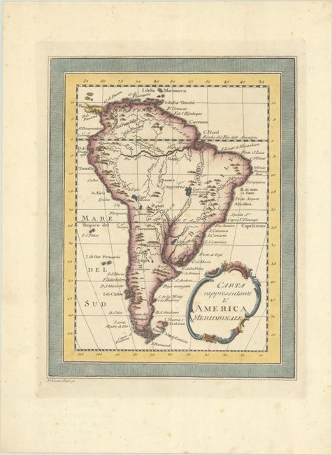
A. Carta Rappresentante l'America Meridionale, by Veremondo Rossi, from Il Gazzettiere Americano..., circa 1763 (6.8 x 8.7"). This small Italian map of the continent features the mythical Lago dei Xareyes with a note that little is known about the lake. Prominent place names include Buenos Aires, Santiago, Cordoba, Potosi, Lima, and Quito. The Amazon and other major rivers are delineated. The Falkland Islands are labeled I. Nuova, o Maloine and depicted with incomplete coastlines. The title is contained in an ornate cartouche. Engraved by Veremondo Rossi. Condition: A sharp impression with light foxing. (B+)
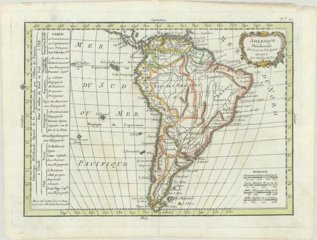
B. Amerique Meridionale Divisee en ses Principaux Etats avec Privilege du Roi, by Jean Lattre, from Le Petit Atlas Moderne..., circa 1783 (10.0 x 7.1"). This handsome map of South America includes a table at left breaking down political divisions and colonial holdings. The vast inland territory between Brazil and Peru is named Pays des Amazones, and southern South America is Terres Magellaniques. There is a decorative title cartouche at top right and four distance scales at bottom right. Condition: On watermarked paper with a hint of toning and a manuscript pencil notation in Brazil. (A)
References:
Condition:
See description above.


