Catalog Archive
Auction 199, Lot 328
NO RESERVE
"A Chart of the Coasts of Peru, Quito, Popayan and the Isthmus of Darien", Moll, Herman
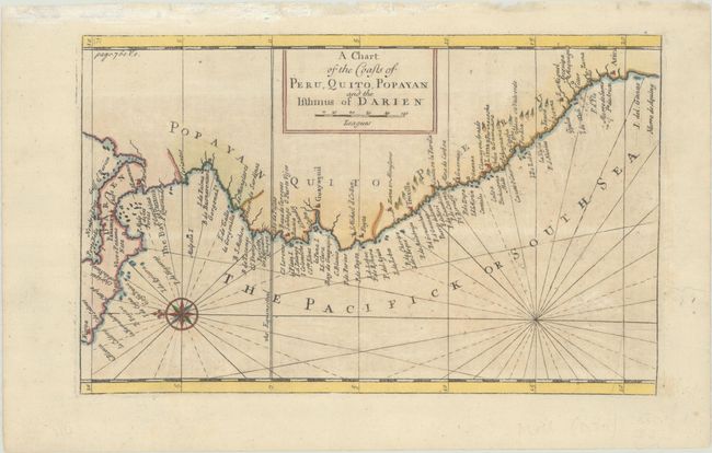
Subject: Northwestern South America
Period: 1717 (circa)
Publication: Atlas Geographicus...
Color: Hand Color
Size:
11.3 x 7.1 inches
28.7 x 18 cm
Download High Resolution Image
(or just click on image to launch the Zoom viewer)
(or just click on image to launch the Zoom viewer)