Subject: London, England
Period: 1908 (circa)
Publication:
Color: Printed Color
Size:
60 x 44 inches
152.4 x 111.8 cm
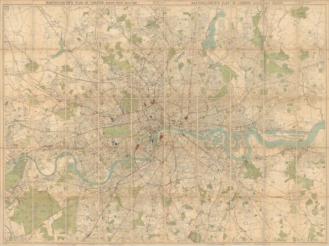
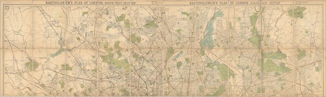
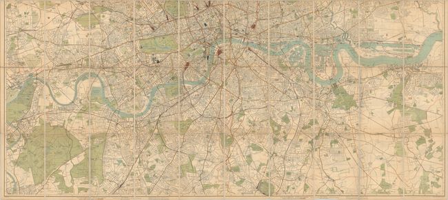
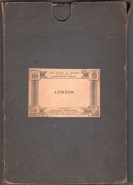
This sprawling, intricately detailed four-sheet plan view of London is credited to Bartholomew but was published by Edward Stanford, with listings of his leading atlases and library maps on verso. The plan spans from Tottenham south to Crystal Palace and from the Royal Gardens at Kew east to Royal Albert Dock. It is divided into a grid of 1/2-mile squares from St. Paul's. There is excellent detail of streets and transportation, with railways, underground railways, and omnibus and tramway routes identified. Postal district borders are tinted pinkish-red. The plan pops with parks and cemeteries in green and stations in red. Originally issued on four sheets, this example has been dissected, merged, and backed in linen. The titles of the top two sheets, Bartholomew's Plan of London North-West Section and North-East Section, can still be seen along the top while the southwest and southeast sheets's titles have been hidden by the merger. This example comes with a cloth-covered cardboard slipcase.
References:
Condition: B+
Issued folding, now dissected and backed in linen, with light toning. Slipcase is stained and separating along the edges in many places. View the second and third images for higher resolution images.