Subject: England & Wales
Period: 1610 (circa)
Publication: Atlas Minor
Color: Black & White
Size:
7.1 x 5.3 inches
18 x 13.5 cm
A matching set of maps from a Latin edition of Mercator's Atlas Minor, published between 1610-21.
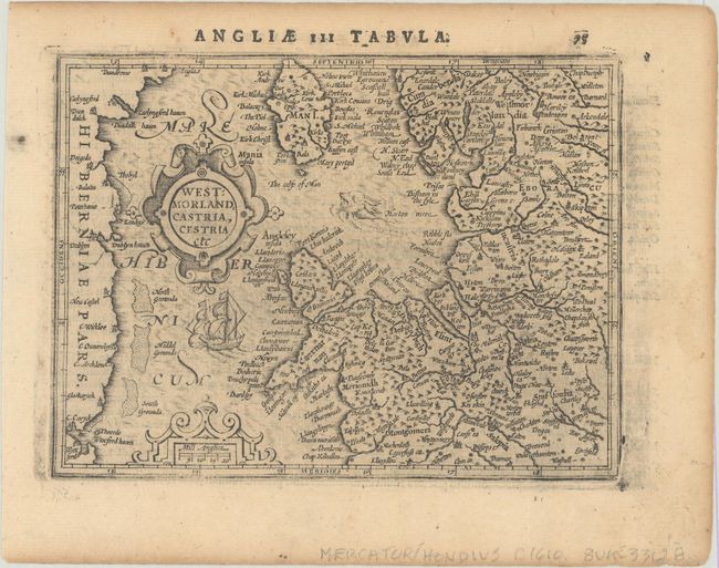
A. Westmorland, Castria, Cestria Etc. This is a map of northwestern England and northern Wales with the Isle of Man. It also covers the east coast of Ireland. It is adorned with strapwork title and scale cartouches, a ship and a fierce sea monster.
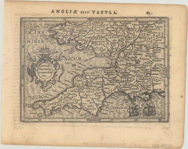
B. Cornub. Devonia, Somerset Etc. Finely engraved map of southwestern England and part of Wales. The map is adorned with a strapwork title cartouche incorporating a scale of miles and a sea battle between two ships.
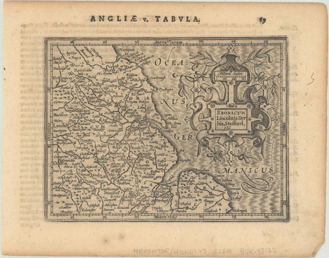
C. Eboracum Lincolnia Derbia, Stafford, Etc. Charming map of the eastern part of England that includes the cities of York, Lincoln, Nottingham, Derby and Norwich. It is decorated with a fantastic title cartouche incorporating the distance scale that is garlanded with ribbons and greenery.
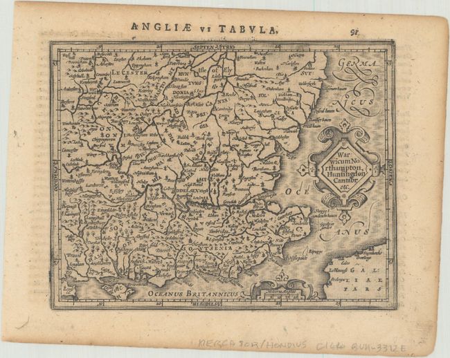
D. Warwicum Northampton, Huntingdon Cantabr Etc. Appealing small map of southeastern England including London, Salisbury, Oxford, Cambridge, Leicester, and Norwich and the Isle of Wight. The map is filled with minutely engraved detail and is graced with two strapwork cartouches and a moiré patterned sea.
References: Van der Krogt (Vol. III) #5111:351, #5112:351, #5113:351, & #5114:351.
Condition: B+
Dark impression with light toning and a few minor spots of foxing.


