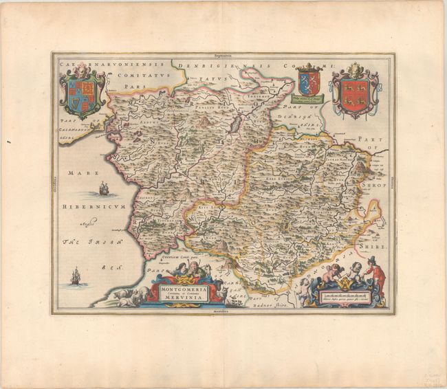
Subject: Northern Wales
Period: 1648 (circa)
Publication: Toonneel des Aerdrycks oft Nieuwe Atlas... Vierde Deel
Color: Hand Color
Size:
19.7 x 15 inches
50 x 38.1 cm
This is a splendid map of the historic counties of Merionethshire and Montgomeryshire. The two large coats of arms pictured are for Great Britain on the left and Wales on the right. In between is the coat of arms for the Herbert family, in recognition of Philip Herbert, the 1st Earl of Montgomery. The map is richly embellished with two ships sailing in the Irish Sea and two figurative cartouches featuring a surveyor, putti, and Welsh shepherds and their flocks. Dutch text on verso, published between 1648-62.
References: Van der Krogt (Vol. II) #5520:2.
Condition: A
A dark impression with full contemporary color on a bright sheet with a large watermark of the god Atlas and wide margins. There is light printer's ink reside and light soiling along the edges of the sheet.


