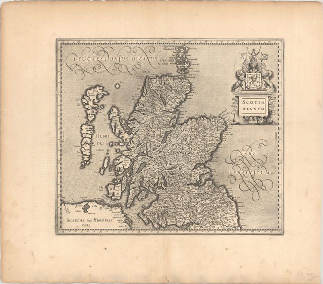
Subject: Scotland
Period: 1636 (published)
Publication: Gerardi Mercatoris et I. Hondii. - Atlas or a Geographicke Description of the Regions
Color: Black & White
Size:
15.9 x 13.7 inches
40.4 x 34.8 cm
This is a scarce map of Scotland, from the only English edition of the Mercator/Hondius atlas. It is distinguished by other editions of the map by its new cartouche and omission of Mercator's name. Beautifully engraved, it shows Scotland and the Hebrides islands with a moire patterned sea and strong topographical features in the interior. Compiled from Mercator's landmark map of the British Isles (1564), with some corrections, this is one of three maps of Scotland to appear in the Mercator Atlas. Mercator's outline of Scotland remained the standard until the Robert Gordon map was published by Blaeu in 1654. The title cartouche incorporates the arms of Scotland and lamb-like hippocampus. English text on verso.
References: Moir, p. 169; Van der Krogt (Vol. I) #5800:1A.2.
Condition: A
A crisp impression on a sheet with a large coat of arms watermark and some printer's ink residue. There is marginal soiling and a short centerfold separation in the bottom blank margin.


