Catalog Archive
Auction 199, Lot 402

"Jreland", Stieler, Adolph
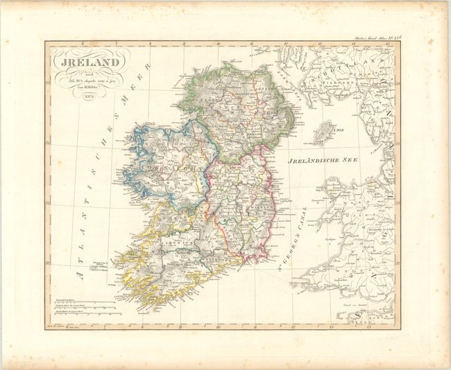
Subject: Ireland

Period: 1824 (dated)

Publication: Stieler's Hand-Atlas

Color: Hand Color

Size:
14 x 11.4 inches
35.6 x 29 cm
Download High Resolution Image
(or just click on image to launch the Zoom viewer)

This handsome German map is divided into the four provinces of Ulster, Connaught, Leinster and Munster along with county divisions, cities and towns. There is good detail of topography, rivers, rugged coastline and offshore islands. Extends to include Wales and portions of England and Scotland. Drawn by Heinrich Hubbe.

References:

Condition: B+

Contemporary outline color with some light scattered foxing that is mostly confined to the blank margins.

Estimate: $90 - $110

Sold for: $40

Closed on 9/11/2024

Archived