Subject: Celestial Atlas
Period: 1835 (published)
Publication:
Color: Hand Color
Size:
14.3 x 16.5 inches
36.3 x 41.9 cm
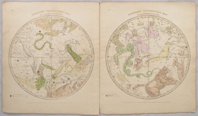
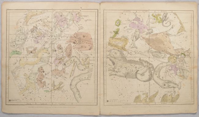
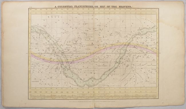
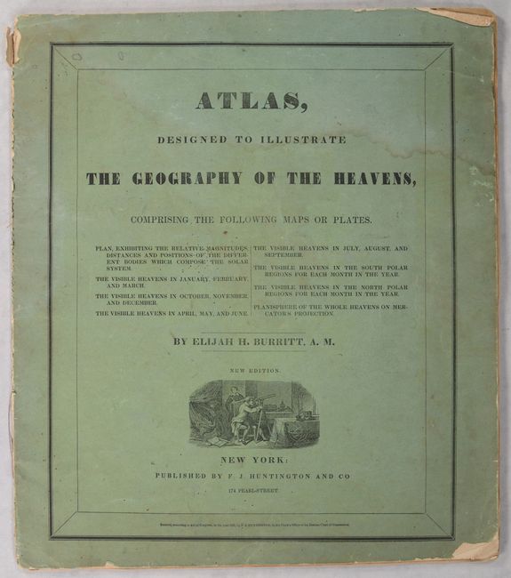
Complete celestial atlas with eight charts of the constellations. This popular star atlas was intended for the general public, rather than for professional astronomers. Only the brighter stars and nebulae, and their allegorical forms, are depicted on the charts. The stiff paper covers include a vignette of astronomers using a telescope. Charts include:
1) A Plan of the Solar System Exhibiting its Relative Magnitudes and Distances...
2) The Visible Heavens in January, February, and March.
3) The Visible Heavens in October, November, and December.
4) The Visible Heavens in April, May, and June.
5) The Visible Heavens in July, August, and September.
6) Southern Circumpolar Map for each Month in the Year.
7) Northern Circumpolar Map for each Month in the Year.
8) A Celestial Planisphere, or Map of the Heavens.
References:
Condition: B
Contemporary hand color with light soiling and foxing. There is a dampstain that enters the top quarter to third of the plates, that is mostly noticeable on the first and last plates. The string tie is loose. The covers are soiled with a dampstain at top and some chipping along the edges.