Subject: Western Europe, Rhine River
Period: 1740 (circa)
Publication:
Color: Hand Color
Size:
24.7 x 19 inches
62.7 x 48.3 cm
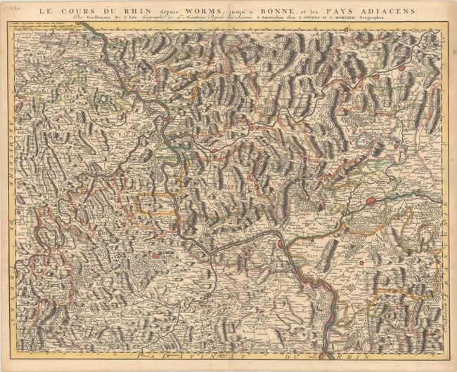
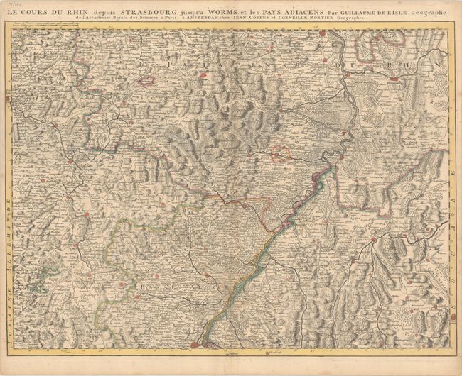
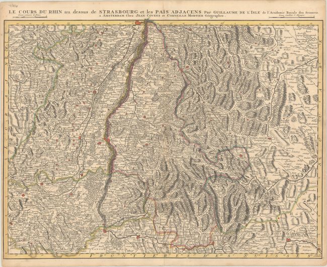
This is a Covens and Mortier edition of this trio of intricately engraved and highly detailed maps that cover the extent of the Rhine from Bonn to Lake Constance. They mostly delineate the river's course through western Germany, but they also extend into parts of France and Switzerland. Each sheet is dense with topographical detail and place names. Included in the lot is a striking title sheet for the series of maps that features 9 plan views of several fortified cities in the region: Koblenz, Strasbourg, Mainz, Mannheim, Heilbronn, Fribourg, Neuf-Brisach, Fort Louis, and Landau. At bottom is a vignette depicting the Siege of Philippsburg (1734), part of the War of the Polish Succession. Individually, the maps are:
A. Le Cours du Rhin Depuis Worms, Jusqu'a Bonne, et les Pays Adiacens.
B. Le Cours du Rhin Depuis Strasbourg Jusqu'a Worms et les Pays Adiacens.
C. Le Cours du Rhin au Dessus de Strasbourg et les Pais Adjacens.
References: cf. Rumsey #4638.048-51.
Condition: A
Sharp impressions on sturdy sheets with contemporary outline color. There is minor toning along the centerfolds and sheets' edges and a hint of offsetting along the centerfold of the title sheet.


