Catalog Archive
Auction 199, Lot 438
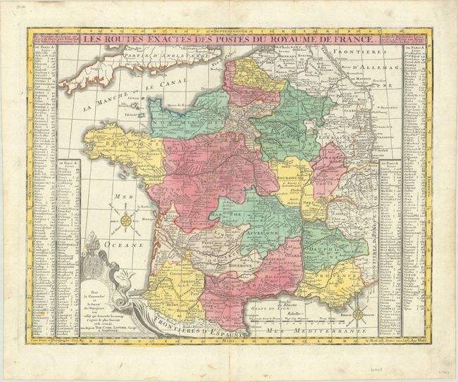
"Les Routes Exactes des Postes du Royaume de France", Seutter/Lotter

Subject: France, Postal Routes
Period: 1740 (circa)
Publication:
Color: Hand Color
Size:
22.9 x 17.9 inches
58.2 x 45.5 cm
Download High Resolution Image
(or just click on image to launch the Zoom viewer)
(or just click on image to launch the Zoom viewer)

