Catalog Archive
Auction 199, Lot 445
Price Reduced by $60
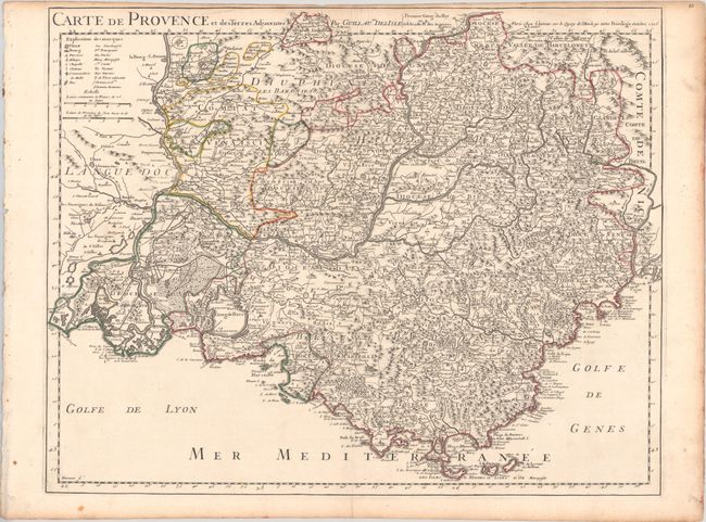
"Carte de Provence et des Terres Adjacentes", Delisle, Guillaume

Subject: Southeastern France
Period: 1715 (dated)
Publication:
Color: Hand Color
Size:
23.8 x 18.9 inches
60.5 x 48 cm
Download High Resolution Image
(or just click on image to launch the Zoom viewer)
(or just click on image to launch the Zoom viewer)

