Subject: Northern Germany
Period: 1659 (circa)
Publication: Nuevo Atlas
Color: Hand Color
Size:
23.5 x 15.8 inches
59.7 x 40.1 cm
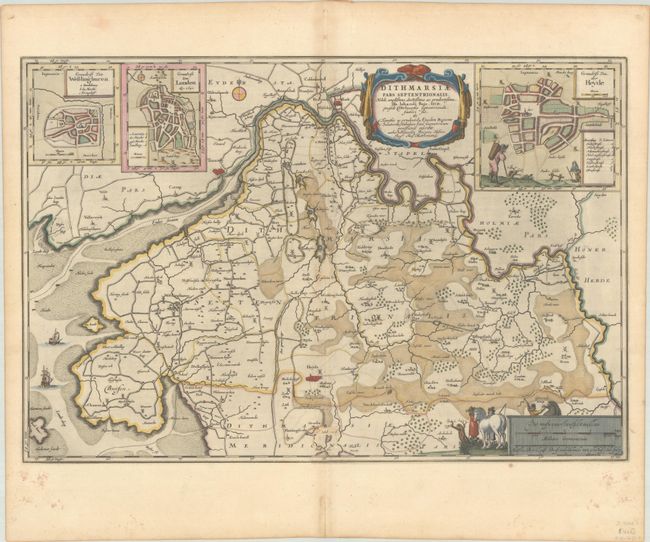
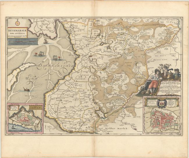
This matching pair of maps depicts the western portion of Schleswig-Holstein between the Eider and Elbe Rivers. There is great detail of cities, towns, small settlements, roads, windmills, and political boundaries. Five inset maps are included on the two sheets with bird's-eye plans of Heide Lunden, Wesselburen, Meldorf, and Brunsbuttel. The maps are handsomely adorned with decorative cartouches, ships and sea monsters in the Wadden Sea, and images of local farmers. Spanish text on verso, published between 1659-72.
References: Van der Krogt (Vol. II) #1681:2.2 & #1682:2.2.
Condition: B+
Each sheet has full contemporary color with a large watermark of the god Atlas, minor toning along the centerfold, and several short worm tracks along the centerfold that have been partially infilled, with small loss of image.


