Catalog Archive
Auction 199, Lot 488
"Moraviae, quae olim Marcomannorum Sedes, Corographia, A.D. Paulo Fabritio Medico...", Ortelius, Abraham
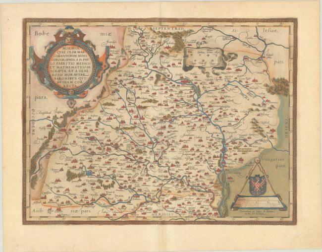
Subject: Czech Republic
Period: 1579 (published)
Publication: Theatrum Orbis Terrarum
Color: Hand Color
Size:
18.6 x 14 inches
47.2 x 35.6 cm
Download High Resolution Image
(or just click on image to launch the Zoom viewer)
(or just click on image to launch the Zoom viewer)