Catalog Archive
Auction 199, Lot 506

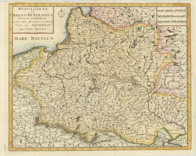
"Nuova Carta del Regno di Polonia Diviso nei suoi Palatinati Secondo l'Ultime Osservazioni ed Anotazioni", Tirion/Albrizzi
Subject: Eastern Europe, Poland

Period: 1740 (circa)

Publication:

Color: Hand Color

Size:
13.6 x 11 inches
34.5 x 27.9 cm
Download High Resolution Image
(or just click on image to launch the Zoom viewer)

This is an Italian edition of Tirion's copper-engraved map of the Kingdom of Poland. The map extends from the Baltic Sea to the Black Sea and gives excellent detail of boundary lines, topography, villages and cities. Ukrania is noted just north of the Black Sea. It is embellished with a simple compass rose.

References:

Condition: A

A crisp impression, issued folding on a bright sheet with minor offsetting. The top margin is narrow, but still ample for framing.

Estimate: $275 - $350

Sold for: $200

Closed on 9/11/2024

Archived