Subject: Asia
Period: 1626 (dated)
Publication: A Prospect of the Most Famous Parts of the World…
Color: Hand Color
Size:
20.3 x 15.6 inches
51.6 x 39.6 cm
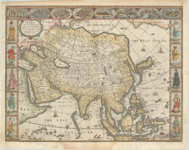
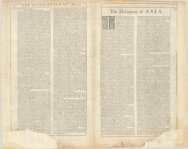
This beautiful carte-a-figures map is the first English printed map of Asia. It is flanked by costumed figures of Asian peoples with a series of eight city views forming a decorative frieze across the top including Damascus, Jerusalem, Aden, Hormus, Goa, Kandy, Banten, and Macau. The map is based largely on Jodocus Hondius' map of 1623 with detailed depictions of the East Indies, the Philippines, and the elongated peninsula form of Korea. Large lakes and rivers dominate the interior of China and the mythical Lake of Ciamay spawns five large rivers in India Without Ganges. The Great Wall of China is placed too far north. The Caspian Sea is greatly enlarged and oriented in an east-west direction. The map is further embellished with a title cartouche, sea creatures, sailing ships, and a lone elephant that appears in the interior of China. Beautifully engraved by Abraham Goos with the imprint of Bassett and Chiswell, published circa 1676. The English text on verso provides a fascinating Anglo-centric view of Asia.
References: Moreland & Bannister, p. 148-50; Shirley (BL Atlases) T.SPE-2a #2; Yeo #30.
Condition: B
On watermarked paper with two chips in the bottom left and right corners that have been repaired with archival materials, with portions of the map image replaced in facsimile, including the lower halves of the "Balaguatan" and "Tartarian." The margins have been extended with old paper at left and right, and there are a couple wormtracks and light toning in the margins.