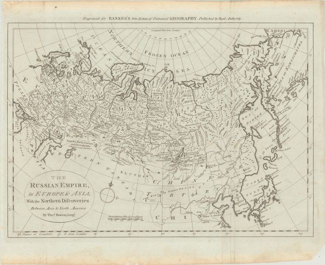
Subject: Northern Asia
Period: 1770 (circa)
Publication: Bankes's New System of Universal Geography
Color: Black & White
Size:
17.8 x 12.5 inches
45.2 x 31.8 cm
This uncommon map covers the whole of the Russian Empire but emphasizes the Asian regions. Particular attention is focused on the recent discoveries in the Bering Sea (here labeled Sea of Kamtschatka). An island archipelago appears off Kamtschatka that is likely part of the Aleutian Islands, but they are placed too close to the Asian continent. The Sea of Japan is labeled Corea Gulf. Novaya Zemlya is shown as a single large island.
References: McCorkle (18th C. Geography Books) #11 [15].
Condition: A
A crisp impression, issued folding on a blue-tinted sheet with some mis-folding along the right-hand fold, very minor soiling, and an archivally repaired hole along the left neatline. There are light dampstains along the top and bottom edges of the sheet, well away from the image.