Subject: East Indies - Indonesia, Singapore, & Macao
Period: 1606 (published)
Publication:
Color: Black & White
Size:
7.9 x 12.3 inches
20.1 x 31.2 cm
This copper engraving is from a remarkable series of publications, illustrating voyages of discovery and travels of exploration to various parts of the world. The project was begun by Theodore de Bry of Frankfurt, in 1590 and was to continue for another 54 years. They became known collectively as the Grands Voyages (to America and the West Indies) and the Petits Voyages (to the Orient and the East Indies). De Bry died after the first six parts of the Grands Voyages were completed. The project was completed initially by his widow and two sons, Johann Theodore de Bry and Johann Israel de Bry, then by his son-in-law, Matthaus Merian in 1644.
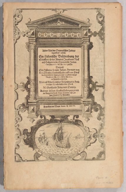
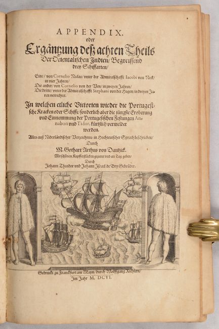
This is a complete disbound example of the sole German edition of Part VIII of De Bry's Petits Voyages. It consists of all 114 pages of Latin text, a title page, and 18 plates, including 3 excellent double-page engravings. The volume chronicles five Dutch voyages to the East Indies in the first decade of the 17th century, as the Dutch East India Company was establishing itself in the region, including Jacob Corneliszoon van Neck's second expedition in 1600-04. Although a majority of the volume focuses on the East Indies, there are detours to Calicut, Sri Lanka, Mozambique, and China, as reflected by a handful of the plates. The plates are accompanied with German captions below the image, with the captions appearing on the verso of the double-page engravings.
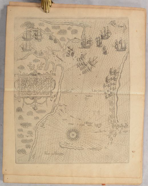
Part VIII features Contrafactur des Scharmutz els der Hollender wider die Portigesen in dem Flus Balusabar… (10.1 x 12.8"), the first published map of the strategically important Strait of Singapore, which had been jealously guarded by the Portuguese for nearly a century. This rare map is oriented with north to the left and depicts the southern coast of Sinca Pora (the Singapore island) and Rio Batasubar (the Straits of Johor). Most of the coastline is marked as Cust onbekent (coast unknown). The map records a naval battle between the Dutch and Portuguese in which the Dutch captured a Portuguese galleon in 1603.
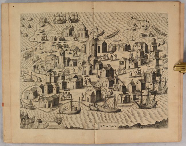
Another rare, early view depicts Macao (13.2 x 10.3"), showing the main buildings and sites of the Portuguese settlement. Macao, the first European colony in China, was established by the Portuguese in about 1557 at the southwest entrance to the Pearl River estuary. Macao quickly became a strategic stronghold for European voyages and remained a principal focal point of European voyages in the Far East and Pacific. The settlement derived its name from the Chinese goddess Ama, whose Temple is depicted here as the three-windowed circular building just to the left of the upper centerfold. The city is viewed from the adjacent Lappa Island and is built around the central square of La Misericordia, where there is a prominent crucifix. The inhabitants are seen going about their daily business loading ships and fishing, with merchants being carried in jiaos (sedan chairs) or under the shade of large umbrellas borne by their servants.
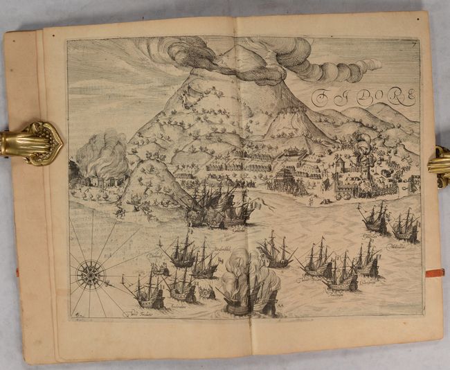
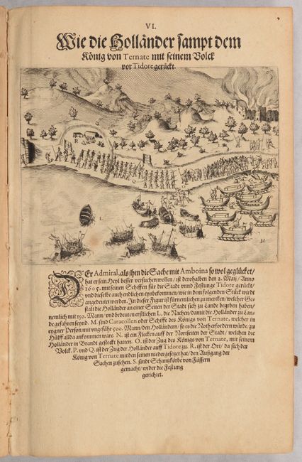
The last of the three double-page views is Tidore (13.3 x 10.3"), a lively scene illustrating the Dutch attack on the Portuguese fort at Tidore.
The full listing of the plates is as follows:
I) The King of Ternate's Banquet for Admiral van Neck
II) How the Natives of Ternate Go Fishing
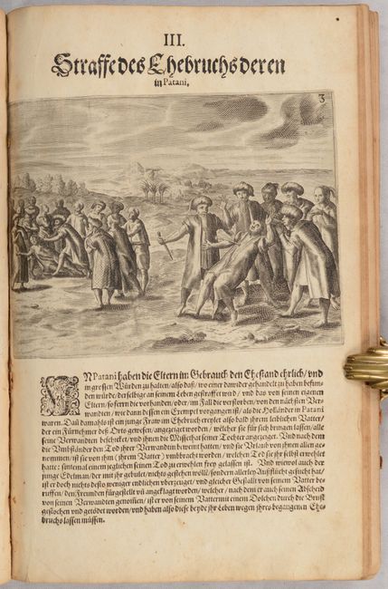
III) The Penalty of Adultery in Patani
IV) A Procession of the Queen of Patani
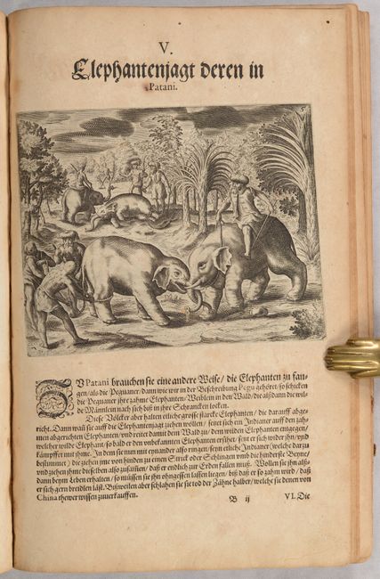
V) Elephant Hunting in Patani
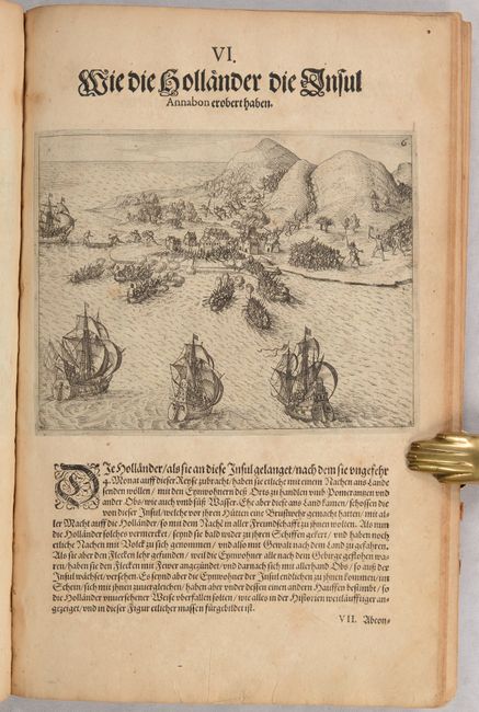
VI) How the Dutch Conquered the Island of Annabon
VII) The Penalty for Criminal Offence
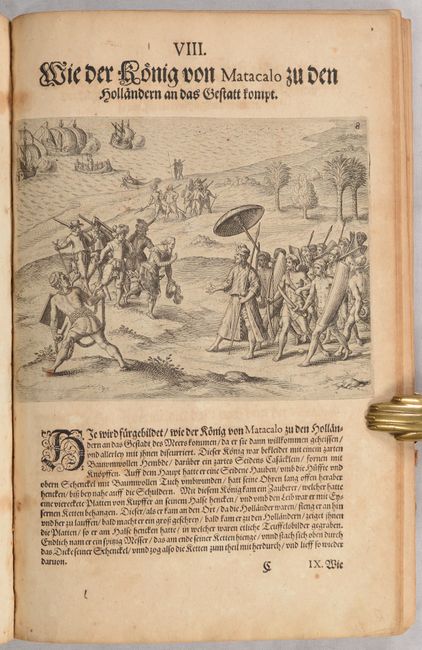
VIII) How the King of Matacalo Meets the Dutch as They Come Aboard
IX) How Vice-Admiral Sebald de Weert and His Men Were Attacked
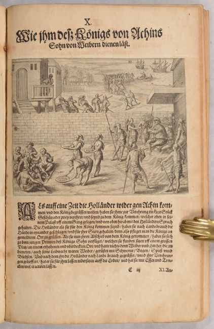
X) The King of Achin's Son Is Waited on by Women
XI) The Arrival of the Dutch in Patani
XII) Amacao
XIII) Contrafactur des Scharmutz els der Hollender wider die Portigesen in dem Flus Balusabar…
XIV) Conquest of a Large Portuguese Ship
XV) A Treaty of Friendship Between the Dutch and the King of Calicut
XVI) The Layout of the Town and Fortress of Ambon
XVII) The Dutch Arrive at Tidore, Together with the King of Ternate
XVIII) The Occupation of the Fortress at Tidore
References: Garratt (TMC-9) #P7; Suarez (SEA) fig. 100.
Condition: B+
The plates have light toning and soiling, although Plates IV and V at the end of the volume have moderate toning. There are a few old cardstock tabs that have been attached to the fore-edges of several pages, including Plate XI and the view of Tidore. An apparent misprint of Plates IX and X were replaced with the correct images, which was not uncommon due to the text and plates being printed separately onto each page. The text has light to moderate toning and occasional foxing. The title page is also lightly toned and foxed with a small, old paper repair along the bottom edge of the sheet. The text and plates are all still bound together, although one signature at the end of the text block is very loose and there are no covers present. All pages are from the same original example as there is a small wormhole that goes through each page at top right. This is an excellent candidate for rebinding.


