Catalog Archive
Auction 199, Lot 649
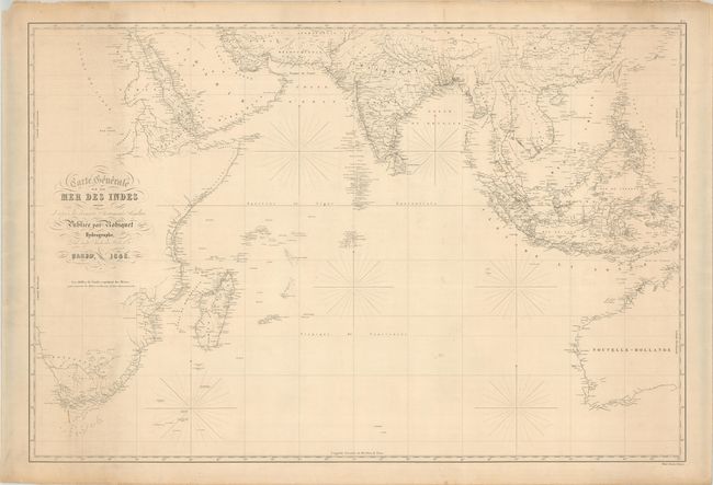
"Carte Generale de la Mer des Indes Dressee d'Apres les Derniers Documents Anglais", Robiquet, Aime

Subject: Indian Ocean
Period: 1848 (dated)
Publication:
Color: Black & White
Size:
39.1 x 26.3 inches
99.3 x 66.8 cm
Download High Resolution Image
(or just click on image to launch the Zoom viewer)
(or just click on image to launch the Zoom viewer)

