Subject: Western Hemisphere - America
Period: 1820 (dated)
Publication:
Color: Hand Color
Size:
18.4 x 23.8 inches
46.7 x 60.5 cm
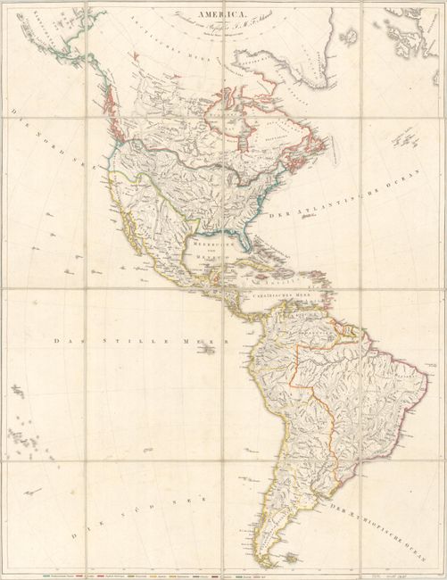
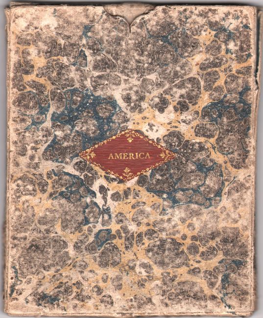
This German map of the Western Hemisphere is color-coded to show ownership with a key at bottom identifying 10 mostly European powers including the English, French, Spanish, Dutch as well as the "North American Free State", Brazilians and Haitians. It emphasizes physical geography with only major cities noted. The map is filled with erroneous mountain ranges in the central United States and the boundaries between Canada, the United States and Mexico wander as they head west. In the Great Basin, lakes Timpanagos and Teguayo are shown along with a speculative San Felipe River connecting the latter to the Pacific Ocean. In South America, the mythical See Parima is still shown in Guyana. Published by Simon Schropp & Company in Berlin. Dissected and backed with linen. Folds into its original marbled slipcase.
References:
Condition: A
Contemporary outline color on a bright sheet with a bit of soiling. Dissected and backed with linen. Accompanying slipcase is heavily worn but functional.


