Subject: Eastern Africa
Period: 1786 (dated)
Publication:
Color: Hand Color
Size:
15.6 x 11.3 inches
39.6 x 28.7 cm
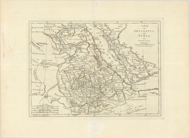
This map gives extensive detail of the region along the Red Sea, including present-day Egypt, Sudan, Eritrea, Djibouti, Ethiopia, and a small portion of Saudi Arabia. Political divisions, towns, roads, and topography are depicted along with several short notations. Three sources of the Nile River are identified well north of the equator, including Lake Dambea,, Lake Kaouir, and The Fresh Water Sea or Nubian Marsh of Ptolemy.
References:
Condition: A
Contemporary outline color on a sturdy, watermarked sheet with minor offsetting and a tiny hole on the centerfold.