Subject: Australia
Period: 1845 (circa)
Publication: National Atlas
Color: Hand Color
Size:
24 x 19.8 inches
61 x 50.3 cm
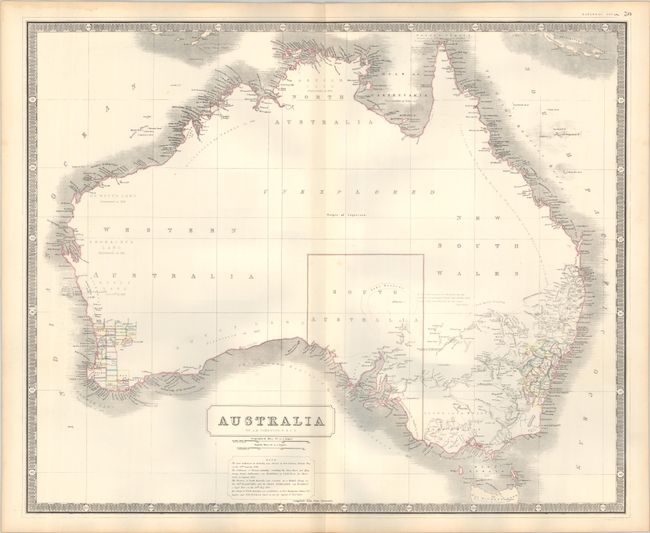
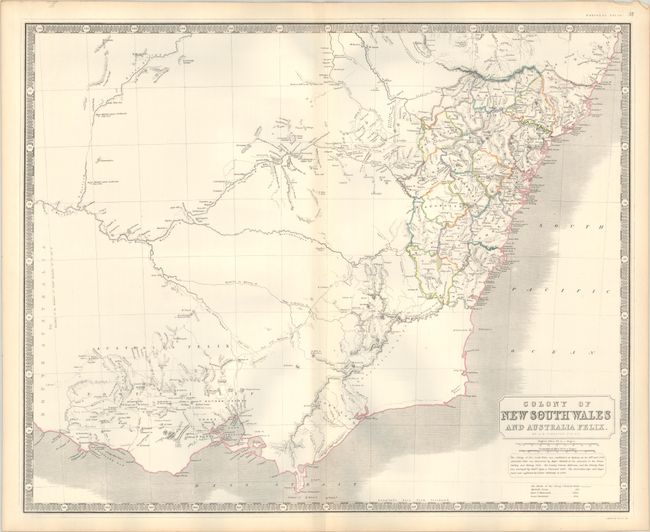
A nice pair of Australia maps showing early development. The first presents the whole continent with development primarily confined to the southeastern coast including Sydney and Melbourne and the southwest corner in the vicinity of Perth. The interior is almost entirely blank with a large section marked "unexplored." There are numerous notations along the coastlines regarding various explorers' discoveries. The second map is a detailed view of the colony of New South Wales with districts delineated in hand color. A note below the title indicates that "the Colony of New South Wales was established at Sydney, on the 26th Jany. 1788." Both surrounded by keyboard-style borders.
References: Tooley (Australia) #755 & #761.
Condition: A
Contemporary outline color on sturdy sheets with a couple of faint spots. There are some light dampstains confined to the top blank margins.


