Subject: Atlases
Period: 1889 (published)
Publication:
Color: Printed Color
Size:
11.3 x 7 inches
28.7 x 17.8 cm
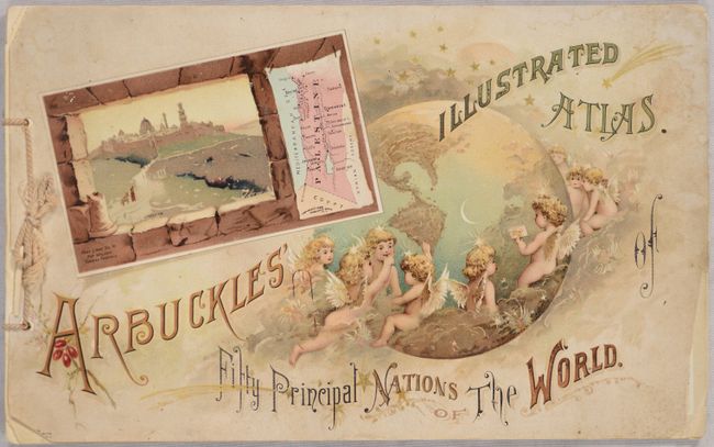
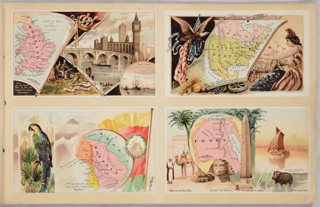
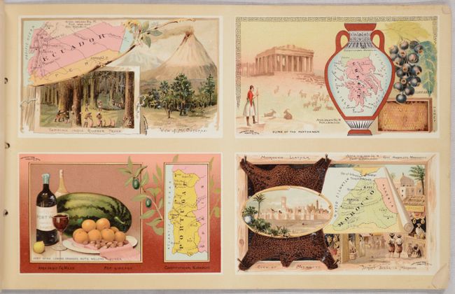
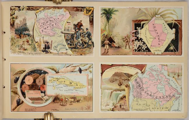
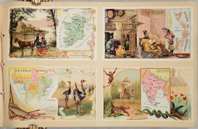
A nice example of this unusual atlas that was designed to advertise Arbuckle Bros. Coffee. The atlas is printed on loose pages held together with original twisted string tie. This oblong atlas has 12 sheets, each with 4 beautiful chromolithographic country maps, illustrating a total of 48 countries. The front pictorial wrapper has an additional map of Palestine plus the western hemisphere with numerous cherubs around the bottom. The rear wrapper, which includes a map of Brazil, an uncolored, double-hemisphere world map, plus a view of the Arbuckle's factory and two finely dressed women enjoying Arbuckle's coffee, is heavily chipped in this example. Text on facing pages describe the maps.
Beginning in the mid-1880's, the Arbuckle Bros. Coffee Company began to include advertising cards, commonly referred to as "trade cards" in packages of their coffee. This was a common device used by companies of the time to tout the virtues of their products. But the Arbuckle company carried the concept a step further and created a series of very desirable images. They then encouraged their customers to collect the entire series of cards and to trade cards with their neighbors in order to complete their sets. Thus, "trade" cards began to evolve into "trading" cards.
Arbuckle issued a great variety of cards including birds, animals, cooking, satire, sports, and maps. The map series, U.S. States and Nations of the World, were extremely popular. Both series were reissued in album format, available from the company as a mail-order premium. These fascinating cards and albums are still actively collected today, more than 130 years after they were issued. The original Arbuckle Bros. Coffee Company, on the other hand, vanished from the scene over 60 years ago.
References:
Condition: B+
Maps are mostly clean and bright with chipped or slightly dog-eared bottom right corners and the typical light toning and offsetting to the text on versos. Front cover is lightly stained with small chips to corners. More than half of the rear cover has chipped away. Original string ties are present and intact.


