Subject: Exploration & Surveys - Circumnavigation
Period: 1767 (published)
Publication:
Color: Black & White
Size:
5.3 x 8.6 inches
13.5 x 21.8 cm
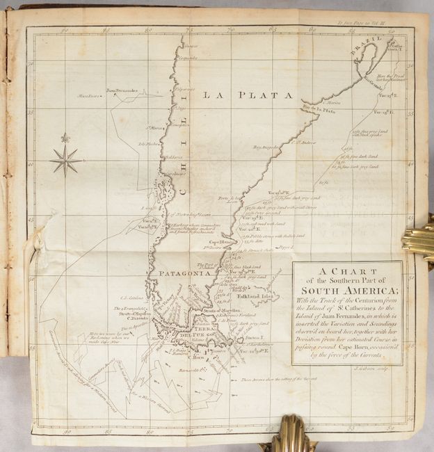
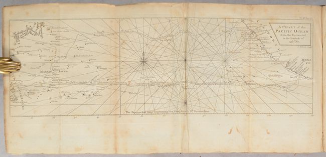
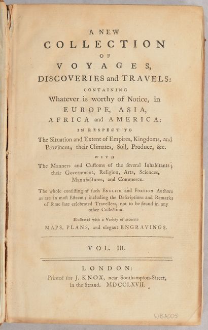
This is volume 3 from John Knox's 7-volume compendium of voyages which Sabin summarizes as "well-digested narratives." The present volume covers the circumnavigations of Sir Francis Drake, William Dampier, Woodes Rogers and Stephen Courtney, and finally George Anson, whose account includes the following two maps:
A Chart of the Southern Part of South America... (9.2 x 9.7"). This handsome chart shows the route of Capt. George Anson's expedition from St. Catherine's Island off the coast of Brazil, around Cape Horn and up to Juan Fernandes Island (now known as Robinson Crusoe Island) off the coast of Chili. The chart shows numerous calculations of water depth, ocean currents, and includes navigational notes. A decorative compass rose with fleur-de-lys is positioned in the sea. Condition: There is light offsetting and a 1.25" binding tear at left.
A Chart of the Pacific Ocean from the Equinoctial to the Latitude of 39 ½d. No. (17.2 x 5.3"). This unusual chart details the route of Spanish galleons between the Philippines and Acapulco. The tracks of British Navy Commodore George Anson and Spanish Nostra Seigniora de Cabadonga are shown. A somewhat speculative depiction of the islands of Japan is shown at top left. Condition: There is light toning, foxing, and some faint offsetting.
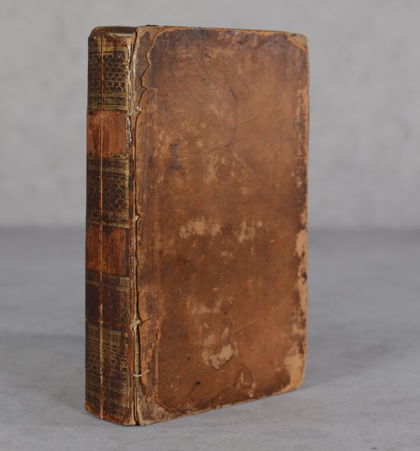
520 pages. Hardbound in contemporary leather.
References: Sabin #38163.
Condition: B
See description above for condition of maps. Text is mostly clean with occasional toning and foxing. Rear endpaper is loose. Both covers are nearly detached and are heavily worn and chipped. Spine is cracked down the center.


