Subject: References, Tallis
Period: 1989 (published)
Publication:
Color: Printed Color
Size:
10.4 x 14.3 inches
26.4 x 36.3 cm
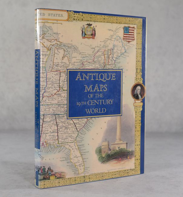
This handsome volume reproduces the text and maps of The Illustrated Atlas and Modern History of the World, edited by Montgomery Martin and published by John Tallis & Co., London, circa 1850. The book collects 84 of Tallis's decorative maps (shown in full color), still favorites among collectors today. As Jonathan Potter writes in his informative introduction, "Tallis' maps in providing a detailed view of the world accompanied by attractive vignette scenes also embody many fascinating aspects of a period of great social upheaval in the wake of the Industrial Revolution in Europe and, in the rest of the world, the opening up and development of each continent." 179 pages. Hardbound in blue cloth with gilt title on spine and an illustrated dust jacket.
References:
Condition: A
A hint of shelf wear to the dust jacket, otherwise fine.


