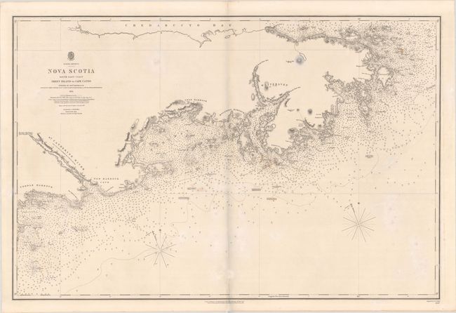
Subject: Nova Scotia, Canada
Period: 1857 (dated)
Publication:
Color: Black & White
Size:
37 x 24.6 inches
94 x 62.5 cm
This detailed chart covers the coast of Nova Scotia from Coddle's Harbour to Canso. There is little inland detail aside from some topography and elevations, but the chart is dense with navigational information, with plenty of depth soundings, bottom types, shoals, hazards, coves, anchorages, passages, lights, and more. Several smaller islands along the coast are identified. Chedabucto Bay is named at the northernmost extent of the chart. Surveyed by Captain Bayfield R.N. Engraved by J. & C. Walker. The engraved seal of the Hydrographic Office appears above the title, with the price of three shillings.
References:
Condition: B+
A crisp impression with light stains, minor offsetting, and a short separation near the centerfold at bottom that has been archivally repaired on recto and verso.


