Subject: New Brunswick, Canada
Period: 1936 (circa)
Publication:
Color: Printed Color
Size:
15.8 x 12.2 inches
40.1 x 31 cm
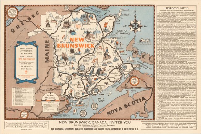
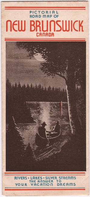
This rare and appealing pictorial map was issued by the New Brunswick Bureau of Information and Tourist Travel as an invitation for potential tourists. It emphasizes wild life and the recreation in the province, with little illustrations showing fishing, camping, hunting, canoeing, and golfing. The highway routes are boldly delineated, and notable towns and cities are identified along the way. There is a legend, table of highway routes, and a listing of 38 historic sites. The map is decorated with a compass rose and scroll-like title cartouche. Additional information for the tourist is on verso. Self-folding into pictorial wrappers (4.8 x 10.6") with alternate title: Pictorial Road Map of New Brunswick Canada.
References:
Condition: A
Clean and bright. Issued folding.


