Catalog Archive
Auction 199, Lot 97
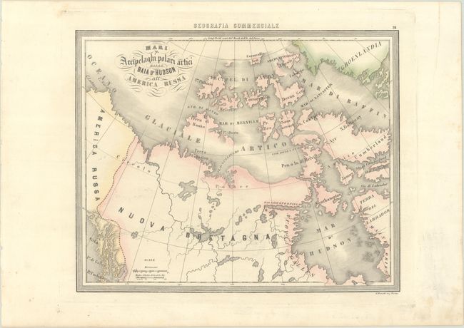
"Mari e Arcipelaghi Polari Artici dalla Baia d'Hudson all' America Russa", Marmocchi, Francesco

Subject: Northern Canada
Period: 1858 (circa)
Publication: Geografia Commerciale
Color: Hand Color
Size:
13 x 10.5 inches
33 x 26.7 cm
Download High Resolution Image
(or just click on image to launch the Zoom viewer)
(or just click on image to launch the Zoom viewer)

