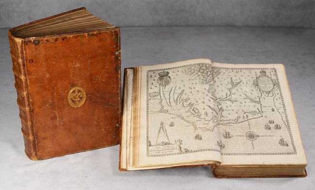
De Bry's Grands Voyages is considered to be the most complete illustrated work on the history of America in the 16th century. The project was begun by Theodore de Bry of Frankfurt in 1590 and was to continue for another 54 years. They became known collectively as the Grands Voyages (to America and the West Indies) and the Petits Voyages (to the Orient and the East Indies). De Bry died after the first six parts of the Grands Voyages were completed. The project was completed initially by his widow and two sons, Johann Theodore de Bry and Johann Israel de Bry, then by his son-in-law, Matthaus Merian in 1644.
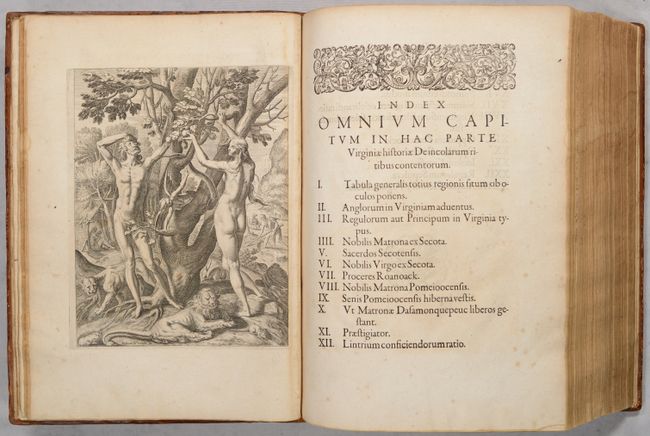
The impetus for de Bry's publication of the first part, which focused on Virginia, was Sir Walter Raleigh's failed attempt to establish a colony in the New World, and the publication of Thomas Hariot's account of his time in that colony on Roanoke Island. Hariot's account was published in 1588 but did not garner any attention. While in London that same year, de Bry met with fellow publisher Richard Hakluyt, who encouraged de Bry to re-issue Hariot's text along with engravings based on John White's paintings from Roanoke Island. De Bry published his work in 1590 with editions in Latin, German, French and English. The work was met with such great success that de Bry decided to publish additional travel accounts, resulting in the Grands Voyages and Petits Voyages.
This two-volume set contains all first Latin editions of Parts 1-9 of Grands Voyages, which were published between 1590-1602. Although additional parts were published after Part 9, the first 9 parts are considered the "original edition" and were the only parts initially planned, as Part 9 was titled Nona & Postrema Pars (The Ninth and Last Part). Seventeen years passed between the first edition of Part 9 and later parts, with a total of 13 Parts published in Latin and 14 Parts in German. Considering that the first edition of Part 1 was published in 1590 and the first edition of Part 14 was published in 1630, most full sets of Grands Voyages were comprised of different editions, many of these compiled centuries later by book dealers. This example, being comprised of all first editions and bound together "as issued," is therefore extremely rare. These volumes were examined by rare book librarians, who confirmed that the binding, French paper on the interleaves, and sewing are all consistent with 17th century French books. This Latin set was likely purchased by a French bookseller and bound in France for a client (as only Part 1 was published in French). The bindings bear a gold stamped cypher on the front covers and the French title Histoire des Indes on the spines. Additionally, some of the interleaves between parts in Volume 1 have manuscript ink notes in French, likely written by an 18th century owner (circa 1724).
In total, the two volumes contain 12 maps (8 of which are double-page), 253 mostly half-page engravings, 13 engraved title pages, and numerous engraved head- and tail-pieces, heralds, and portraits. The colophon to the plates of Part II is lacking. The following is a brief description of each of the 9 parts:
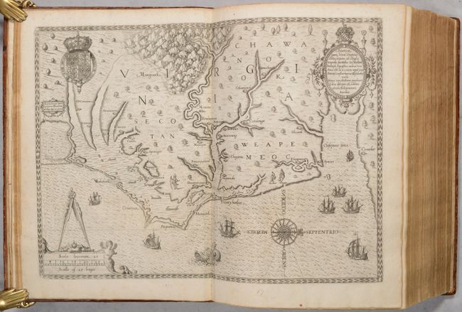
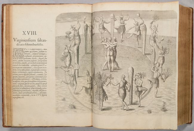
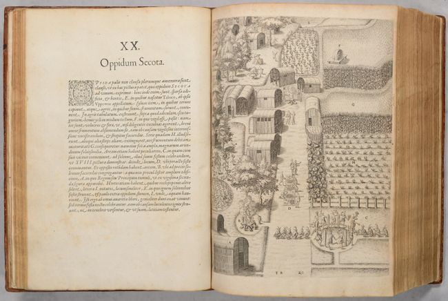
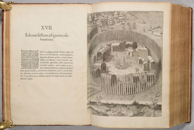
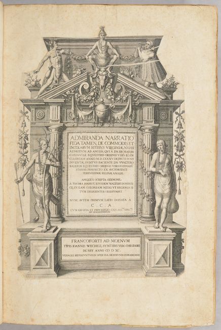
Part I - Admiranda Narratio Fida Tamen, de Commodis. This part focuses on Virginia and the Carolinas based on the account by Thomas Hariot and watercolor paintings by John White. Includes a map of Virginia (Americae Pars, nunc Virginia Dicta) based on a manuscript map by White.
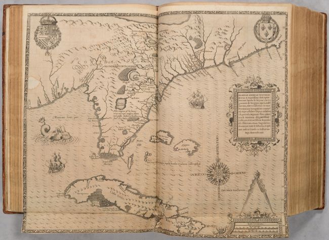
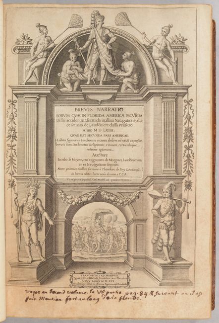
Part II - Brevis Narratio Eorum quae in Florida Americae Provincia. This part recounts French colonization efforts in Florida based on accounts by Jean Ribaut, René de Laudonnière, and Dominique de Gourgues. The engravings are based on watercolors by Jacques Le Moyne, and the map (Floridae Americae Provinciae Recens & Exactissima Descriptio) is also by Le Moyne.
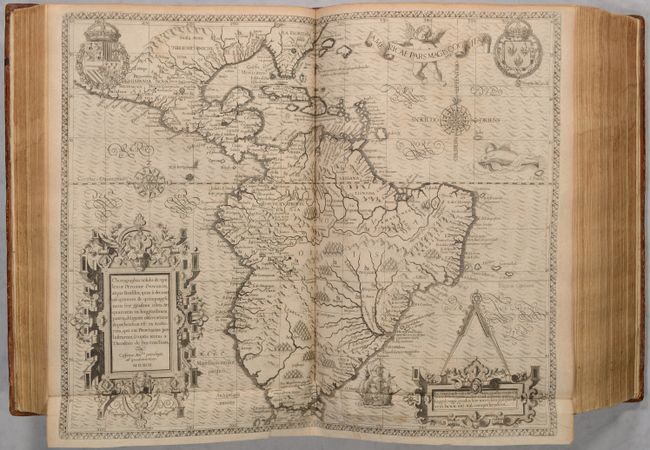
Part III - Americae tertia pars memorabile provinciae Brasiliae historiam. This part focuses on Brazil with accounts by Hans Staden and Jean de Léry. A map of South America (Americae Pars Magis Cognita) is also included.
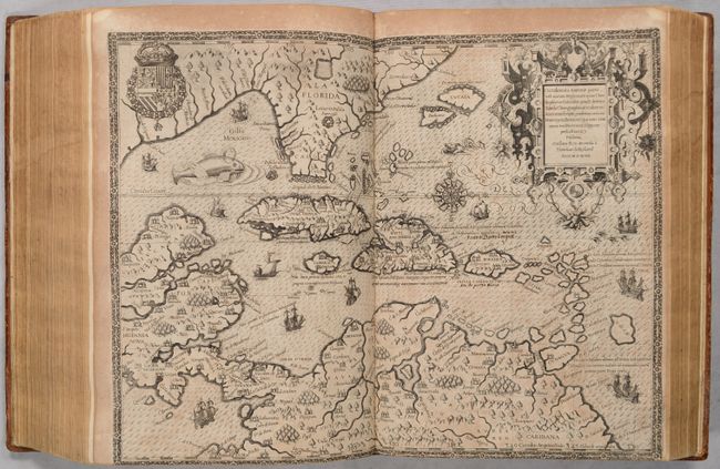
Part IV - Americae pars quarta. This is the first of three parts centering on Girolamo Benzoni's travels in the Caribbean and Central America. It includes a map of the Gulf of Mexico and Caribbean (Occidentalis Americae Partis).
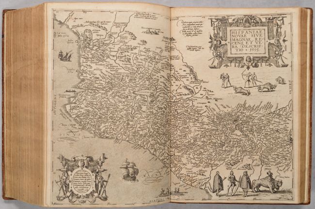
Part V - Americae pars quinta. This presents a continuation of Benzoni's travels, and features a map of Mexico (Hispaniae Novae sive Magnae, Recens et Vera Descriptio) derived from Ortelius.
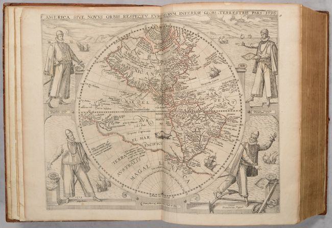
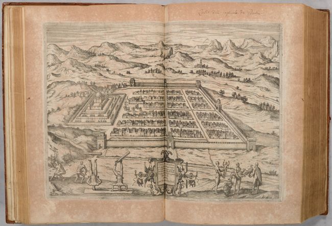
Part VI - Americae pars sexta. A continuation of Benzoni's travels, with two maps: a map of the western hemisphere (America sive Novus Orbis) and a map of Cusco, Peru (Cusco Urbs Nobilissima et Opulentissam Peruani Regni).
Part VII - Americae pars VII. This part focuses on Ulrich Schmidel's account of his voyage to Brazil and Paraguay.
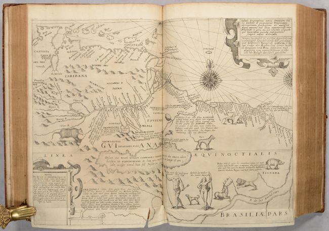
Part VIII - Americae pars VIII. This part reviews six English voyages: three by Sir Francis Drake, one by Thomas Cavendish, and two by Sir Walter Raleigh. The title page features a half-page world map and the engravings focus on South America. Also included are a folding map of northern South America (Tabula Geographica Nova ... Regni Guiana) and a small, untitled map of the North Atlantic.
Part IX - Americae nona & postrema pars. This part focuses on Latin America and the Pacific, including the account of Spaniard José de Acosta in Mexico and Peru, as well as the accounts of Dutchmen Oliver Van Noort and Sebald de Weert on their voyages to the Moluccas via the Strait of Magellan. Included is a single-page map of the Strait of Magellan (Fretum Magellannicum, und Dessen Eigentliche Beschreibung).
Hardbound in contemporary calf with gilt embossed cypher and gilt dentelle on original covers; rebacked (likely late 17th century) with gilt titling and decorations with 6 raised bands. There are small remnants of two leather ties to close each volume, but the ties are no longer present.
Provenance: From the library of Joannis Courbon Desgaux (1650-1725), with bookplate dated 1690. From the library of Pierre-Marie Anginieur (1736-1774), with bookplate. Purchased from Richard Arkway in 1982.
For a more in-depth look inside the two volumes, please view this video on our YouTube channel.
References: Sabin #8784.
Condition:
The majority of the maps and plates are in excellent condition with minor toning and occasional soiling and foxing. In Part I, the Plate XVII and XIX have been interchanged. In Part V, Plate XXI has stains in the image that have caused a few small holes. The maps of Florida and the Gulf of Mexico have a minor amount of the border missing due to being printed on paper that was too small. The map of Cusco has moderate toning in the margins and a repaired tear in the right margin. The map of northern South America has a 1" tear at bottom. The map of the western hemisphere has a bit of outline coloring from a previous owner. There is old manuscript ink text in French from a previous owner (circa 1724) on some of the interleaves between parts, as well as notations on a few title pages and text pages. The text is generally very good with light toning, however there are some sections that have moderate to heavy toning, particularly in Part 8 and Part 9 as inferior paper was often used in these later parts. The bindings are worn with bumped corners, small abrasions, some staining, and cracking of the leather along the spines.