Catalog Archive
Auction 201, Lot 100

"Carta Rappresentante una Parte dlla Baja d'Hudson, e le Region a Maestro dell' America Settentrle", Rossi, Veremondo

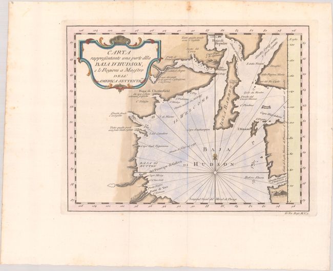
Subject: Hudson Bay, Canada

Period: 1763 (circa)

Publication: Il Gazzettiere Americano

Color: Hand Color

Size:
10.7 x 8.3 inches
27.2 x 21.1 cm
Download High Resolution Image
(or just click on image to launch the Zoom viewer)

This delicately engraved Italian chart depicts the northwest corner of Hudson Bay. There are Italian notations concerning whether or not an area is known, unknown, or poco cognito (little known). The map delineates the route of Henry Ellis, who sailed the Hudson Bay in 1746 in search of the Northwest Passage. Baja di Repulse, Cape Hope, Isola Barren, Mansel Island, and a couple forts are located. The engraving is adorned with a decorative title cartouche.

References:

Condition: A

A nice impression issued folding with marginal foxing.

Estimate: $140 - $170

Unsold

Closed on 11/20/2024

Archived