Catalog Archive
Auction 201, Lot 112

"An Exact Map of the Province of Quebec, with Part of New York & New England, from the Latest Surveys", Lodge, John
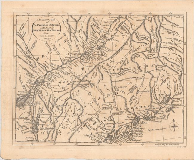
Subject: Colonial Northeastern United States & Canada

Period: 1778 (circa)

Publication: History of North America

Color: Black & White

Size:
10.6 x 8.2 inches
26.9 x 20.8 cm
Download High Resolution Image
(or just click on image to launch the Zoom viewer)

This Revolutionary War era map extends from the St. John's River east to Quebec, Montreal, and Lake Champlain. It shows excellent detail along the St. Lawrence River and Atlantic coastline, and locates several forts in the interior. This area saw significant activity during the war, including the expeditions against Quebec by Arnold and Montgomery and the British campaigns in the Champlain Valley region under Burgoyne. Published in William Russell's History of North America.

References: Howes #R-539.

Condition: B+

A crisp impression with some light toning and offsetting.

Estimate: $200 - $230

Sold for: $150

Closed on 11/20/2024

Archived