Catalog Archive
Auction 201, Lot 113

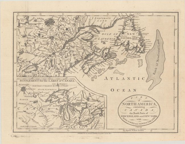
"Part of North America, Containing Canada, the North Parts of New England and New York; with Nova Scotia and Newfoundland", Cary, John
Subject: Colonial Northeastern United States & Canada, Great Lakes

Period: 1781 (dated)

Publication: A Complete Geographical Dictionary

Color: Black & White

Size:
11.3 x 8.3 inches
28.7 x 21.1 cm
Download High Resolution Image
(or just click on image to launch the Zoom viewer)

This beautifully engraved copper plate map, after Didier Robert de Vaugondy, describes the Maritimes and New England with an inset of the Great Lakes and course of the Missouri River. Fine stipple engraving defines the Bank of Newfound Land. The title is enclosed with a simple oval cartouche. Engraved by Cary and published in John Seally's A Complete Geographical Dictionary.

References: cf. Kershaw #371; McCorkle (18th C. Geography Books) #380-5; cf. McCorkle (New England) #759.3.

Condition: A

A nice impression, issued folding with a hint of offsetting, several misfolds, and marginal soiling.

Estimate: $190 - $220

Unsold

Closed on 11/20/2024

Archived