Subject: United States
Period: 1855 (dated)
Publication: Harper's Statistical Gazetteer of the World
Color: Hand Color
Size:
27 x 21 inches
68.6 x 53.3 cm
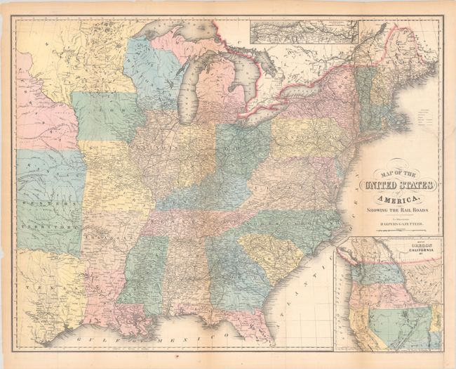
The main map covers the eastern part of the United States and a large inset at bottom right shows the West. The boundaries of Washington and Oregon reach the Rocky Mountains, Utah includes Nevada and part of Colorado, New Mexico includes Arizona, and a huge Nebraska covers the rest of the West. Indian Territory is here called Western Territory. An inset at top depicts railroad and canal routes from Albany to Buffalo. A key at right identifies markings for state capitals, towns, villages, railroads, canals and stage roads.
References:
Condition: B+
Issued folding with light toning along the fold lines along with a 5" edge tear and 6" separation at top right that have been repaired on verso with archival tape. Several other small separations along the sheet edges and fold junctions have also been archivally repaired.


