Subject: United States
Period: 1881 (dated)
Publication:
Color: Black & White
Size:
11.3 x 8.3 inches
28.7 x 21.1 cm
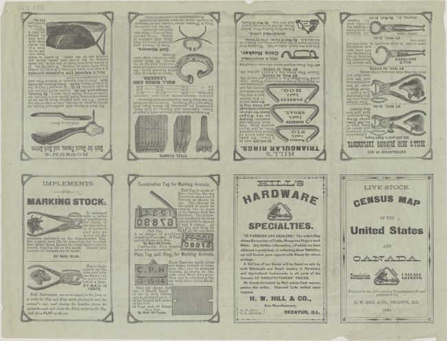
This rare and unusual map showing the livestock population in each state was printed and published by the advertising arm of Decatur's H.W. Hill & Co., manufacturers of hardware and agricultural implements. Each state is crammed with illustrations of pigs, cattle, and sheep, with numbers printed across them indicating the state population of a given animal. Unsurprisingly, Texas leads the Union in cattle, with more than 5 million shown, while California has an impressive population of more than 7 million sheep. Many of the animals are irreverently posed; for instance, animals consult Hill & Co. maps, play banjo, chase or attack people, and, in New York, dress like Boss Tweed. Surrounding the map are advertisements for Hill & Co. products, with a "bully boy" showing off his calf weaner and ear marker and a hog held in place with tongs while a triangular ring is inserted into its nose. On verso is more advertisements and an alternate title: Live Stock Census Map of the United States and Canada. Copyright by C.P. Housum in 1880, but verso shows 1881 date.
References:
Condition: B+
On thin bluish paper with a few tiny chips and minor creasing at left. Minor soiling.


