Catalog Archive
Auction 201, Lot 129

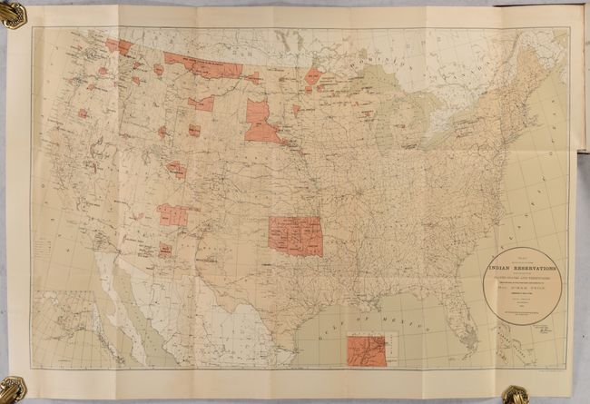
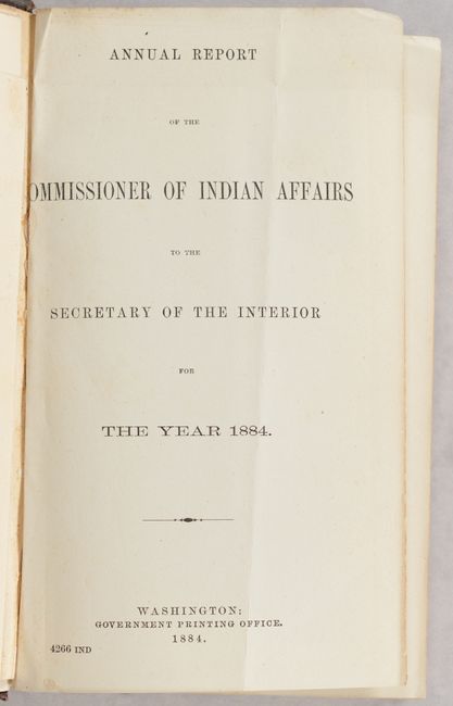
"[Map in Book] Map Showing the Location of the Indian Reservations Within the Limits of the United States and Territories... [in] Annual Report of the Commissioner of Indian Affairs to the Secretary of the Interior for the Year 1884", U.S. Bureau of Indian Affairs

Subject: United States

Period: 1884 (published)

Publication:

Color: Printed Color

Size:
33.1 x 21.1 inches
84.1 x 53.6 cm
Download High Resolution Image
(or just click on image to launch the Zoom viewer)

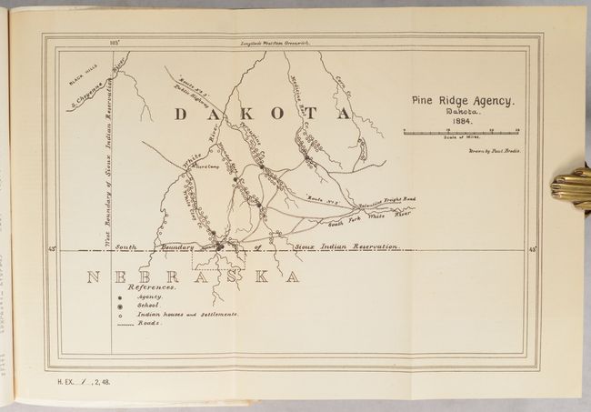
This map was issued in the Annual Report of the Commissioner of Indian Affairs to the Secretary of the Interior, and shows the status of Indian Reservations within the western United States in bright orange with large tracts visible in the Dakotas, Montana, Washington, Indian Territory and Arizona. It also identifies Army outposts, towns, railroads, river systems, and Yellowstone National Park. Accompanying the large map is a small folding Pine Ridge Agency map (11 x 7.5") in southern Dakota Territory. It locates Indian houses and settlements, schools, and several roads including a "Public Highway" near the Black Hills. Both maps are still bound into the 512-page report. Hardbound in brown cloth with gilt title on spine.

References:

Condition: B+

The large folding map has some light toning throughout and a minor repaired edge chip and tiny tear along the bottom sheet edge. Text is clean and bright. Covers are moderately worn with bumped corners and a chip at the lower spine.

Estimate: $220 - $250

Sold for: $110

Closed on 11/20/2024

Archived