Subject: Eastern United States, Franklin
Period: 1840 (dated)
Publication:
Color: Hand Color
Size:
8.7 x 7.3 inches
22.1 x 18.5 cm
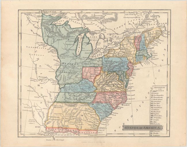
A colorful map that focuses on the eastern states up to the Mississippi River. It features the short-lived state of Franklinia along the Great Smokey Mountains. In 1785, settlers in western North Carolina and eastern Tennessee organized a state government to be named in honor of Benjamin Franklin. Congress turned down their appeal, but the state maintained a legislature and governor until 1788. The map also shows a large Western Territory that covers today's Indiana, Illinois, Michigan, Wisconsin, and eastern Minnesota. Only the southern half of present-day Ohio is labeled Ohio. The region of today's West Virginia is labeled Indiana (Indiana Land Company) without color distinction. Includes a reference to states at bottom. This is the sixth state of the map, published by Henry Fisher & Sons in London. Interestingly, the first edition (1814) of this map does not include Franklinia.
References: Dotson & Baker (OWA) #32.6; Baynton-Williams (TMC-72) #16.
Condition: A
A nice impression with very minor soiling.


