Catalog Archive
Auction 201, Lot 158
"[Untitled - Road from Boston to Yorktown]", Soules, Francois
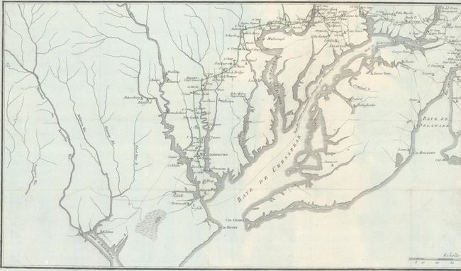
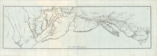
Subject: New England & Mid-Atlantic United States, Revolutionary War
Period: 1787 (published)
Publication: Histoire des Troubles de l'Amerique Anglais
Color: Hand Color
Size:
35.8 x 10.3 inches
90.9 x 26.2 cm
Download High Resolution Image
(or just click on image to launch the Zoom viewer)
(or just click on image to launch the Zoom viewer)