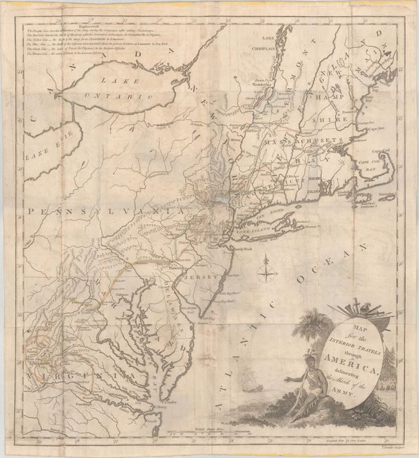
Subject: New England & Mid-Atlantic United States
Period: 1789 (circa)
Publication: Travels Through the Interior Parts of America
Color: Hand Color
Size:
14.4 x 15.8 inches
36.6 x 40.1 cm
This fascinating map illustrates the routes followed by the British Army during the American Revolution and was published in Thomas Anburey's account of Canada and the United States. Anburey was an officer in the British Army, serving under General John Burgoyne, and his account is considered one of the best eyewitness accounts from a British perspective. The map is color-coded to illustrate four marches made by the British Army and the extents of parole in Virginia for the British and German Officers. The marches and paroles are described in a note at top left, and include the marches from: Fort Ticonderoga to Saratoga; Saratoga to Charlottesville, Virginia; Charlottesville to Lancaster, Pennsylvania; and Lancaster to New York. The superb title cartouche features a Native American, a galleon, and a group of British soldiers.
References: McCorkle #789.5.
Condition: B
Issued folding with contemporary outline color, light offsetting, and moderate soiling. The map has been archivally backed to repair separations along the folds, and a few small holes along the folds have also been archivally repaired. A 1" separation and tear near the center of the map, and another 1/4" separation remain unrepaired.


