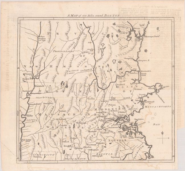
Subject: Colonial New England United States
Period: 1775 (published)
Publication: Gentleman's Magazine
Color: Black & White
Size:
9.7 x 9 inches
24.6 x 22.9 cm
An interesting and very early Revolutionary War map extending to the Connecticut River in the west and York and Fort Stephen in the north. The map was issued in June 1775 at the outbreak of hostilities and was intended to inform the British public of the situation. There is nice detail of watershed and topography, and numerous towns, cities, and forts are located.
References: Jolly #GENT-234.
Condition: B+
A crisp impression, issued folding on a bright sheet with an "RG" watermark. There is a binding trim at right and light offsetting, including offsetting from an opposing page of text.