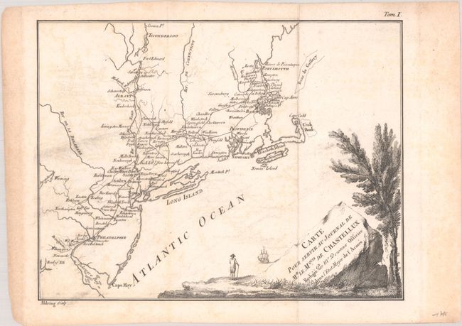
Subject: New England United States
Period: 1786 (circa)
Publication: Travels in North-America, in the Years 1780, 1781, and 1782...
Color: Black & White
Size:
9.6 x 7.4 inches
24.4 x 18.8 cm
This is one of two maps used to illustrate Chastellux's Travels in North-America, in the Years 1780, 1781, and 1782. This work provided a first-hand perspective of the American Revolution and is one of the great contemporary Revolutionary War accounts. The Marquis de Chastellux was one of the forty members of the French Academy and a Major General in the French army in the late 1700s. He served under the Count de Rochambeau and joined forces with General Washington in the famous march on Yorktown that led to Cornwalis' surrender. Cartographically, the map covers the region from central New England south to Wilmington, Delaware, and displays his route through these regions while serving under Rochambeau. Engraved by Aldring.
References: Howes #C-324.
Condition: B+
A dark impression, issued folding with light offsetting, some printer's ink residue at left, and light toning along the edges of the sheet.


