Subject: New England United States, Puzzle
Period: 1854 (dated)
Publication:
Color: Hand Color
Size:
11 x 16.8 inches
27.9 x 42.7 cm
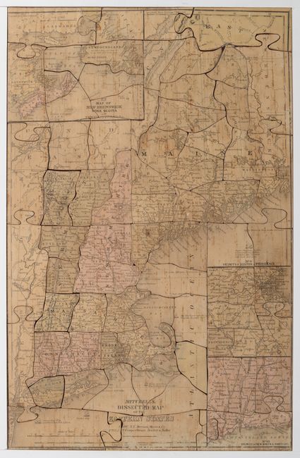
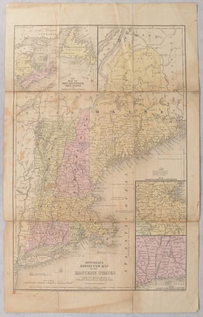
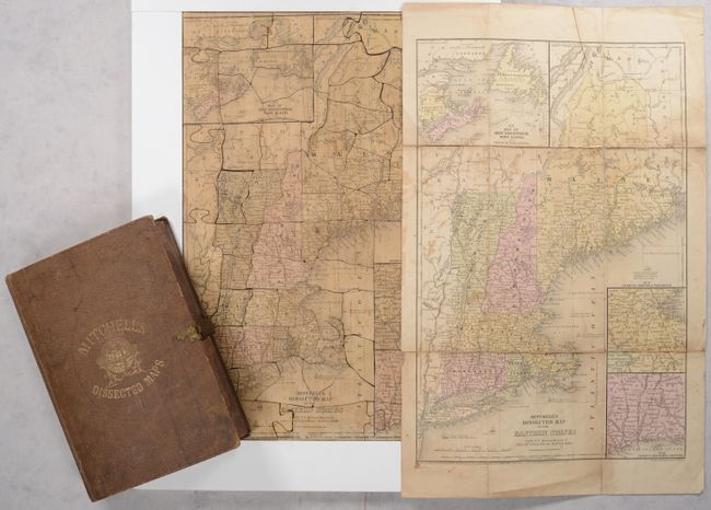
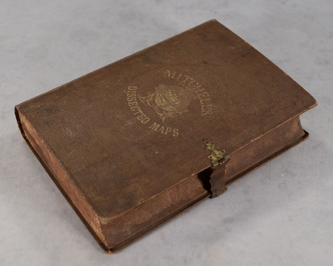
This early puzzle map of New England is complete with its original guide map and box. The puzzle is based upon a map issued in an earlier Mitchell geography book and includes insets of the Vicinity of Boston & Providence, Vicinity of New Haven & Hartford, and Map of New Brunswick Nova Scotia and Newfoundland. The puzzle consists of more than 50 pieces and, given their irregular shapes, putting it together is no easy task. The original box is constructed of paper over carved wood to simulate a book and is cloth covered with embossed gilt titling on front cover and spine. The box is complete with its original brass closure mechanism that is in good working condition. Inside the cover, the original paper label explains the puzzle and lists others for sale. Published by Merriam, Moore & Co. in Troy, N.Y. A scarce, early American puzzle map. We found only one other past sale for this puzzle in the last 30 years.
References:
Condition: B
The puzzle has some toning, scattered foxing, and light surface abrasions at bottom. The guide map has toning, staining, and numerous fold separations that have been closed on verso with archival tape. The box, remarkably intact, has been rebacked and is worn and stained.


