Subject: New England United States
Period: 1904-05 (dated)
Publication:
Color: Printed Color
Size:
14.1 x 20.5 inches
35.8 x 52.1 cm
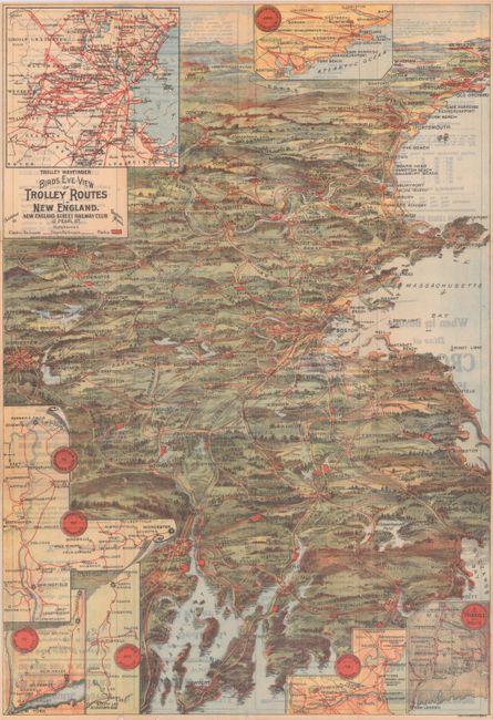
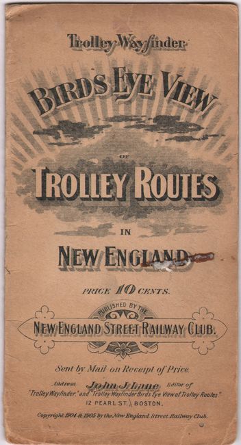
This is an early edition of this scarce bird's-eye view map of eastern New England with the trolley lines highlighted in red overprinting. Newport and Providence are at bottom, Boston near the middle, Portland near the top, and on the horizon are Lewiston and Laconia. The legend identifies electric railroads, steam railroads, and parks. There is an inset map at top left zooming in on the region around Boston, and there are 6 additional inset maps that detail important routes. Local advertisements appear on the verso. Folds into soft paper covers (4 x 7.5). Published by the New England Street Railway Club of Boston, under editor John J. Lane. An uncommon pocket map.
References: cf. Rumsey #14456.002.
Condition: B+
Issued folding with light show-through from text on verso. There are several short fold separations and a 2" tear that have all been archivally repaired on verso. Covers have some light toning and wear, with a bit of old glue on the front cover.


