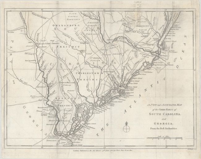
Subject: Colonial Southeastern United States
Period: 1780 (dated)
Publication: Political Magazine
Color: Black & White
Size:
14.7 x 10.8 inches
37.3 x 27.4 cm
Uncommon Revolutionary War map of the region in South Carolina and Georgia from about the Savannah River to the Wackamaw River. The map was created to depict important battle sites and British victories during the Southern Theater of the war, including the capture of Savannah, Georgia in December 1778 and Charleston, South Carolina in May 1780. The map is filled with detailed information of the roads, forts, towns, townships, precincts and parishes. Published by John Bew.
References: Jolly #POL-7.
Condition: B
A crisp impression, issued folding on a bright sheet with two medallion watermarks, now pressed and professionally backed in thin, archival tissue to repair a short binding tear at left and several small holes in the map, with minor loss of image. There is light soiling, a printer's crease by Savannah, and some offsetting at top right from an opposing page of text.


