Catalog Archive
Auction 201, Lot 193
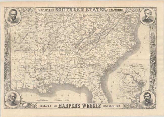
"Map of the Southern States, Including Rail Roads, County Towns, State Capitals, County Roads, the Southern Coast from Delaware to Texas, Showing the Harbors, Inlets, Forts and Position of Blockading Ships", Harper's Weekly

Subject: Southern United States, Civil War
Period: 1861 (dated)
Publication:
Color: Black & White
Size:
30.1 x 20.1 inches
76.5 x 51.1 cm
Download High Resolution Image
(or just click on image to launch the Zoom viewer)
(or just click on image to launch the Zoom viewer)

